Graaff-Reinet night lights from space
Night Light of Graaff-Reinet (Eastern Cape) from space (South Africa) Src. Average luminocity for 10x10km area is 19.1575% and for 50x50km: 0.8435%.
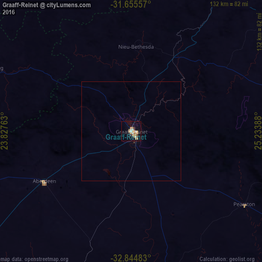

Analysis of Graaff-Reinet night lights 2016
Square area 10x10 km:
 2.38%
2.38%90-99
2.01%80-89
0%70-79
7.88%60-69
3.66%50-59
0.92%40-49
1.47%30-39
2.56%20-29
1.83%10-19
6.59%0-9
70.7%Square area 50x50 km:
0.09%90-99
0.08%80-89
0%70-79
0.31%60-69
0.15%50-59
0.04%40-49
0.06%30-39
0.13%20-29
0.07%10-19
0.26%0-9
98.8%Clear (daylight) street map image can be seen on geolist.org.
Map coordinates:
31° 39' 20.1" South, 23° 49' 39.5" East
32° 15' 7.7" South, 24° 31' 50.7" East
32° 50' 41.4" South, 25° 14' 2" East
Some cities around Graaff-Reinet sort by population:
• Beaufort West
183.4 km =114 mi,  266°
266°
• Cradock
102.9 km =63.9 mi,  84°
84°
• Middelburg
95.6 km =59.4 mi,  28°
28°
• Somerset East
112.1 km =69.7 mi,  117°
117°
• Colesberg
178.6 km =111 mi,  17°
17°
• Adelaide
173.1 km =107.6 mi,  107°
107°
• Kirkwood
153.3 km =95.3 mi,  146°
146°
• Willowmore
151.2 km =94 mi,  220°
220°
1000543 (p: 62,896)
Sources (retrieved 2019-11-25):
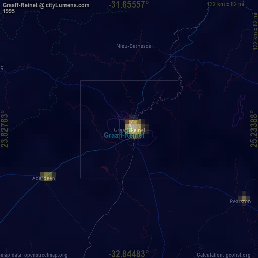
» NASA, Earths city lights 1995
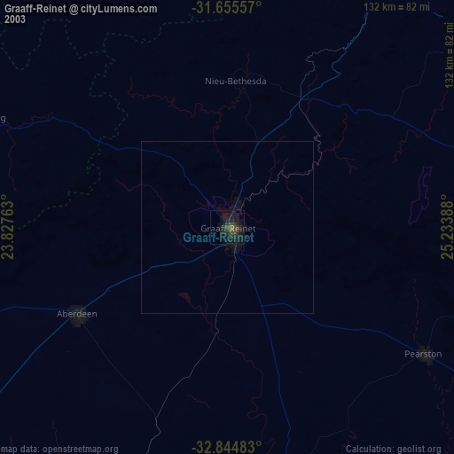
» NASA city lights 2003
» Earth at Night: Flat Maps 2012, 2016