Willowmore night lights from space
Night Light of Willowmore (Eastern Cape) from space (South Africa) Src. Average luminocity for 10x10km area is 2.4056% and for 50x50km: 0.098%.
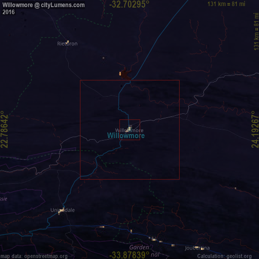
Analysis of Willowmore night lights 2016
Square area 10x10 km:
 0%
0%90-99
0%80-89
0%70-79
0.52%60-69
0.87%50-59
0.35%40-49
1.22%30-39
0.52%20-29
0.7%10-19
1.4%0-9
94.41%Square area 50x50 km:
0%90-99
0%80-89
0%70-79
0.02%60-69
0.04%50-59
0.01%40-49
0.05%30-39
0.02%20-29
0.03%10-19
0.06%0-9
99.77%Clear (daylight) street map image can be seen on geolist.org.
Map coordinates:
32° 42' 10.6" South, 22° 47' 11.1" East
33° 17' 33.5" South, 23° 29' 22.3" East
33° 52' 42.2" South, 24° 11' 33.6" East
Some cities around Willowmore sort by population:
• Knysna
92.3 km =57.4 mi,  206°
206°
• Graaff-Reinet
151.2 km =94 mi,  40°
40°
• Oudtshoorn
124.5 km =77.4 mi,  254°
254°
• Beaufort West
134.2 km =83.4 mi,  320°
320°
• Plettenberg Bay
85.2 km =52.9 mi,  187°
187°
• Kruisfontein
139.5 km =86.7 mi,  124°
124°
• Prince Albert
136.2 km =84.6 mi,  273°
273°
• George
120.9 km =75.1 mi,  231°
231°
939676 (p: 7,100)
Sources (retrieved 2019-11-25):
» Earth at Night: Flat Maps 2012, 2016