Isangel night lights from space
Night Light of Isangel (Tafea) from space (Vanuatu) Src. Average luminocity for 10x10km area is 0% and for 50x50km: 0.011%.
Analysis of Isangel night lights 2016
Square area 10x10 km:
 0%
0%90-99
0%80-89
0%70-79
0%60-69
0%50-59
0%40-49
0%30-39
0%20-29
0%10-19
0%0-9
100%Square area 50x50 km:
0%90-99
0%80-89
0%70-79
0%60-69
0%50-59
0%40-49
0%30-39
0%20-29
0.03%10-19
0%0-9
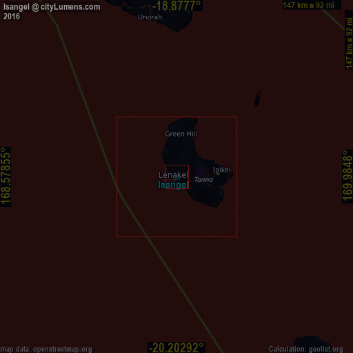
99.97%Clear (daylight) street map image can be seen on geolist.org.
Map coordinates:
18° 52' 39.7" South, 168° 34' 42.8" East
19° 32' 30" South, 169° 16' 54" East
20° 12' 10.5" South, 169° 59' 5.3" East
Some cities around Isangel sort by population:
• Nouméa, NC
422.9 km =262.8 mi,  224°
224°
• Port-Vila
225.1 km =139.9 mi,  333°
333°
• Mont-Dore, NC
413.6 km =257 mi, 222°
• Dumbéa, NC
413.2 km =256.8 mi,  225°
225°
• Païta, NC
418.6 km =260.1 mi, 226°
• Wé, NC
260.1 km =161.6 mi, 233°
• Tadine, NC
266.5 km =165.6 mi,  213°
213°
• Lakatoro
430.6 km =267.6 mi, 332°
2136825 (p: 1,437)
Sources (retrieved 2019-11-25):
» Earth at Night: Flat Maps 2012, 2016