Tadine night lights from space
Night Light of Tadine (Loyalty Islands) from space (New Caledonia) Src. Average luminocity for 10x10km area is 0.2727% and for 50x50km: 0.026%.
Analysis of Tadine night lights 2016
Square area 10x10 km:
 0%
0%90-99
0%80-89
0%70-79
0%60-69
0%50-59
0%40-49
0%30-39
0%20-29
0.76%10-19
0.38%0-9
98.86%Square area 50x50 km:
0%90-99
0%80-89
0%70-79
0%60-69
0%50-59
0%40-49
0%30-39
0.03%20-29
0.03%10-19
0.03%0-9
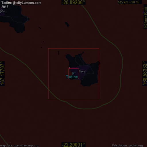
99.9%Clear (daylight) street map image can be seen on geolist.org.
Map coordinates:
20° 53' 31.4" South, 167° 10' 37.5" East
21° 32' 51" South, 167° 52' 48.7" East
22° 12' 0" South, 168° 34' 60" East
Some cities around Tadine sort by population:
• Nouméa
168.3 km =104.6 mi,  241°
241°
• Mont-Dore
157.1 km =97.6 mi, 239°
• Dumbéa
161.8 km =100.5 mi,  245°
245°
• Païta
170.1 km =105.7 mi, 247°
• Wé
94.8 km =58.9 mi,  317°
317°
• Koné
316.9 km =196.9 mi,  279°
279°
• La Foa
212.9 km =132.3 mi,  265°
265°
• Isangel, VU
266.5 km =165.6 mi,  33°
33°
2138285 (p: 7,492)
Sources (retrieved 2019-11-25):
» Earth at Night: Flat Maps 2012, 2016