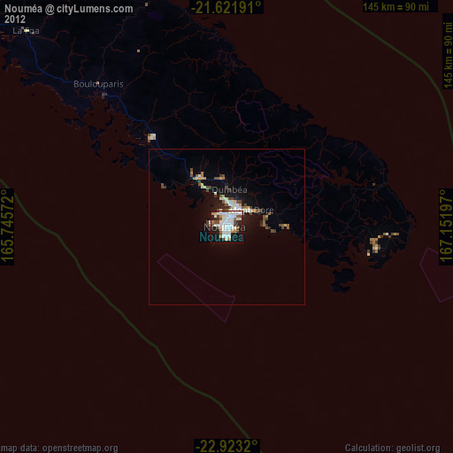
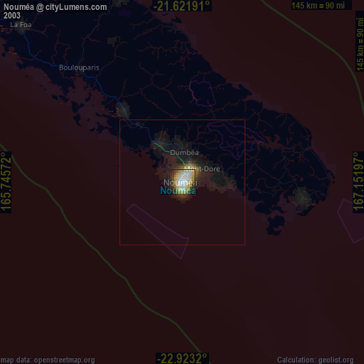
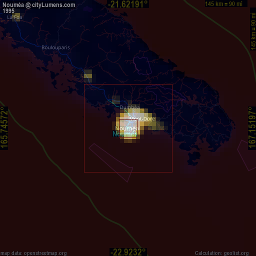
Nouméa night lights from space
Night Light of Nouméa (South Province) from space (New Caledonia) Src. Average luminocity for 10x10km area is 56.3144% and for 50x50km: 5.4042%.

Analysis of Nouméa night lights 2016
Square area 10x10 km:
 15.34%
90-99
20.83%80-89
3.6%70-79
3.6%60-69
3.6%50-59
2.27%40-49
5.3%30-39
4.92%20-29
17.05%10-19
21.21%0-9
2.27%Square area 50x50 km:
0.75%90-99
1.33%80-89
0.41%70-79
0.36%60-69
0.45%50-59
0.41%40-49
0.98%30-39
0.92%20-29
1.71%10-19
4.23%0-9
88.46%Clear (daylight) street map image can be seen on geolist.org.
Map coordinates:
21° 37' 18.9" South, 165° 44' 44.6" East
22° 16' 26.7" South, 166° 26' 55.8" East
22° 55' 23.5" South, 167° 9' 7.1" East
Some cities around Nouméa sort by population:
• Mont-Dore
12.1 km =7.5 mi,  83°
83°
• Dumbéa
13 km =8.1 mi,  3°
3°
• Païta
18.5 km =11.5 mi,  329°
329°
• Wé
172.9 km =107.4 mi,  29°
29°
• Tadine
168.3 km =104.6 mi,  61°
61°
• Koné
212.1 km =131.8 mi,  309°
309°
• La Foa
89.6 km =55.7 mi, 314°
• Isangel, VU
422.9 km =262.8 mi,  44°
44°
2139521 (p: 93,060)
Sources (retrieved 2019-11-25):
» NASA, Earths city lights 1995
» NASA city lights 2003
» Earth at Night: Flat Maps 2012, 2016