Mont-Dore night lights from space
Night Light of Mont-Dore (South Province) from space (New Caledonia) Src. Average luminocity for 10x10km area is 11.4167% and for 50x50km: 5.3696%.
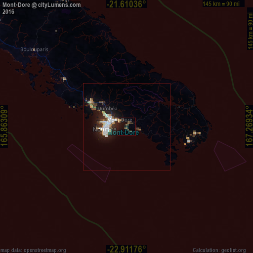
Analysis of Mont-Dore night lights 2016
Square area 10x10 km:
 0%
0%90-99
0%80-89
1.14%70-79
0.76%60-69
1.89%50-59
1.89%40-49
3.03%30-39
6.25%20-29
3.03%10-19
9.66%0-9
72.35%Square area 50x50 km:
0.75%90-99
1.33%80-89
0.41%70-79
0.36%60-69
0.45%50-59
0.41%40-49
0.97%30-39
0.87%20-29
1.71%10-19
4.23%0-9
88.52%Clear (daylight) street map image can be seen on geolist.org.
Map coordinates:
21° 36' 37.3" South, 165° 51' 47.1" East
22° 15' 45.3" South, 166° 33' 58.4" East
22° 54' 42.3" South, 167° 16' 9.6" East
Some cities around Mont-Dore sort by population:
• Nouméa
12.1 km =7.5 mi,  263°
263°
• Dumbéa
16.2 km =10.1 mi,  316°
316°
• Païta
26 km =16.2 mi,  304°
304°
• Wé
166.1 km =103.2 mi,  25°
25°
• Tadine
157.1 km =97.6 mi,  59°
59°
• Koné
220.8 km =137.2 mi,  307°
307°
• La Foa
97.8 km =60.8 mi, 308°
• Isangel, VU
413.6 km =257 mi,  42°
42°
2140066 (p: 24,680)
Sources (retrieved 2019-11-25):
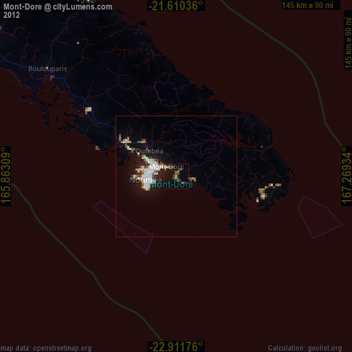
» Earth at Night: Flat Maps 2012, 2016