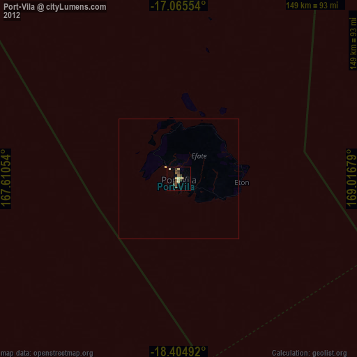
Port-Vila night lights from space
Night Light of Port-Vila (Shefa) from space (Vanuatu) Src. Average luminocity for 10x10km area is 11.7771% and for 50x50km: 0.4666%.

Analysis of Port-Vila night lights 2016
Square area 10x10 km:
 0%
0%90-99
1.73%80-89
1.73%70-79
1.73%60-69
1.95%50-59
4.55%40-49
2.16%30-39
0.43%20-29
1.52%10-19
0.87%0-9
83.33%Square area 50x50 km:
0%90-99
0.07%80-89
0.07%70-79
0.07%60-69
0.07%50-59
0.17%40-49
0.08%30-39
0.02%20-29
0.06%10-19
0.03%0-9
99.37%Clear (daylight) street map image can be seen on geolist.org.
Map coordinates:
17° 3' 55.9" South, 167° 36' 37.9" East
17° 44' 11.3" South, 168° 18' 49.2" East
18° 24' 17.7" South, 169° 1' 0.4" East
Some cities around Port-Vila sort by population:
• Luganville
275.3 km =171.1 mi,  333°
333°
• Wé, NC
370.4 km =230.2 mi,  197°
197°
• Tadine, NC
426.2 km =264.8 mi,  186°
186°
• La Foa, NC
512.8 km =318.6 mi,  210°
210°
• Isangel
225.1 km =139.9 mi,  153°
153°
• Sola
436.9 km =271.5 mi,  349°
349°
• Lakatoro
205.5 km =127.7 mi, 332°
• Saratamata
274.5 km =170.6 mi, 352°
2135171 (p: 35,901)
Sources (retrieved 2019-11-25):
» Earth at Night: Flat Maps 2012, 2016