Wé night lights from space
Night Light of Wé (Loyalty Islands) from space (New Caledonia) Src. Average luminocity for 10x10km area is 1.9087% and for 50x50km: 0.0775%.
Analysis of Wé night lights 2016
Square area 10x10 km:
 0.6%
0.6%90-99
0.2%80-89
0%70-79
0%60-69
0%50-59
0%40-49
0.2%30-39
1.59%20-29
1.39%10-19
0%0-9
96.03%Square area 50x50 km:
0.02%90-99
0.01%80-89
0%70-79
0%60-69
0%50-59
0%40-49
0.01%30-39
0.06%20-29
0.06%10-19
0%0-9
99.84%Clear (daylight) street map image can be seen on geolist.org.
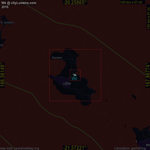
Map coordinates:
20° 15' 31.1" South, 166° 33' 41.4" East
20° 55' 0.7" South, 167° 15' 52.6" East
21° 34' 20" South, 167° 58' 3.9" East
Some cities around Wé sort by population:
• Nouméa
172.9 km =107.4 mi,  209°
209°
• Mont-Dore
166.1 km =103.2 mi, 205°
• Dumbéa
161.3 km =100.2 mi, 211°
• Païta
164.4 km =102.2 mi, 214°
• Tadine
94.8 km =58.9 mi,  137°
137°
• Koné
249.5 km =155 mi,  266°
266°
• La Foa
173.1 km =107.6 mi,  239°
239°
• Isangel, VU
260.1 km =161.6 mi,  53°
53°
2137690 (p: 10,375)
Sources (retrieved 2019-11-25):
» Earth at Night: Flat Maps 2012, 2016