Lakatoro night lights from space
Night Light of Lakatoro (Malampa) from space (Vanuatu) Src. Average luminocity for 10x10km area is 0% and for 50x50km: 0%.
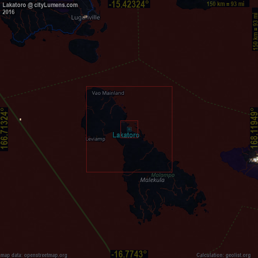
Analysis of Lakatoro night lights 2016
Square area 10x10 km:
 0%
0%90-99
0%80-89
0%70-79
0%60-69
0%50-59
0%40-49
0%30-39
0%20-29
0%10-19
0%0-9
100%Square area 50x50 km:
0%90-99
0%80-89
0%70-79
0%60-69
0%50-59
0%40-49
0%30-39
0%20-29
0%10-19
0%0-9
100%Clear (daylight) street map image can be seen on geolist.org.
Map coordinates:
15° 25' 23.7" South, 166° 42' 47.7" East
16° 5' 59.7" South, 167° 24' 58.9" East
16° 46' 27.5" South, 168° 7' 10.2" East
Some cities around Lakatoro sort by population:
• Port-Vila
205.5 km =127.7 mi,  152°
152°
• Luganville
70 km =43.5 mi,  337°
337°
• Wé, NC
535.8 km =332.9 mi,  181°
181°
• Tadine, NC
607.7 km =377.6 mi, 175°
• Koné, NC
613.4 km =381.1 mi,  205°
205°
• Isangel
430.6 km =267.6 mi, 152°
• Sola
247.7 km =153.9 mi,  3°
3°
• Saratamata
107.6 km =66.9 mi,  33°
33°
2136697 (p: 705)
Sources (retrieved 2019-11-25):
» Earth at Night: Flat Maps 2012, 2016