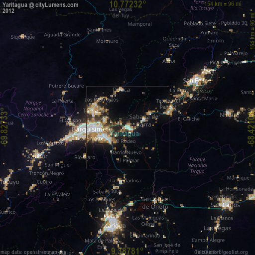
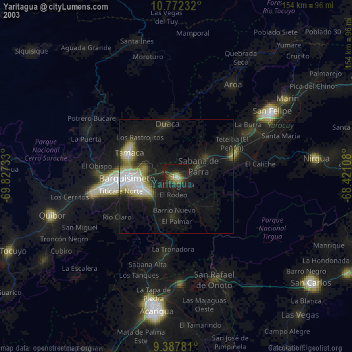
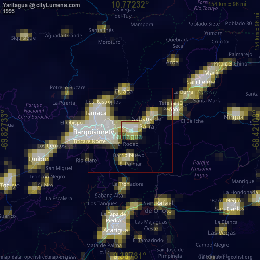
Yaritagua night lights from space
Night Light of Yaritagua (Yaracuy) from space (Venezuela) Src. Average luminocity for 10x10km area is 30.2996% and for 50x50km: 13.2671%.
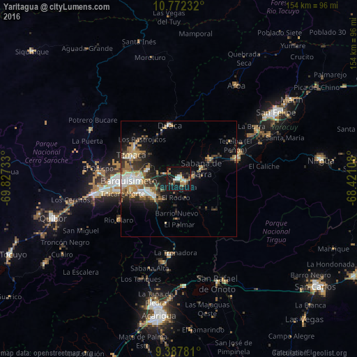
Analysis of Yaritagua night lights 2016
Square area 10x10 km:
 4.13%
4.13%90-99
3.31%80-89
1.65%70-79
4.34%60-69
7.64%50-59
4.13%40-49
3.31%30-39
4.13%20-29
6.2%10-19
46.69%0-9
14.46%Square area 50x50 km:
1.69%90-99
2.12%80-89
1.02%70-79
1.8%60-69
3.26%50-59
1.4%40-49
1.52%30-39
3.37%20-29
2.66%10-19
7.85%0-9
73.32%Clear (daylight) street map image can be seen on geolist.org.
Map coordinates:
10° 46' 20.4" North, 69° 49' 38.4" West
10° 4' 50.9" North, 69° 7' 27.1" West
9° 23' 16.1" North, 68° 25' 15.9" West
Some cities around Yaritagua sort by population:
• Barquisimeto
25.6 km =15.9 mi,  265°
265°
• Acarigua
59 km =36.7 mi,  187°
187°
• San Felipe
50.7 km =31.5 mi,  55°
55°
• Araure
56.9 km =35.4 mi, 192°
• Chivacoa
26.6 km =16.5 mi,  70°
70°
• Quíbor
56.9 km =35.4 mi,  252°
252°
• Los Rastrojos
14.2 km =8.8 mi,  244°
244°
• Nirgua
61.7 km =38.3 mi,  82°
82°
3625207 (p: 89,662)
Sources (retrieved 2019-11-25):
» NASA, Earths city lights 1995
» NASA city lights 2003
» Earth at Night: Flat Maps 2012, 2016