Barquisimeto night lights from space
Night Light of Barquisimeto (Lara) from space (Venezuela) Src. Average luminocity for 10x10km area is 83.5269% and for 50x50km: 18.2851%.
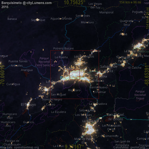
Analysis of Barquisimeto night lights 2016
Square area 10x10 km:
 29.55%
90-99
26.86%80-89
7.44%70-79
12.6%60-69
11.36%50-59
2.27%40-49
2.89%30-39
6.4%20-29
0.62%10-19
0%0-9
0%Square area 50x50 km:
2.59%90-99
3.01%80-89
1.25%70-79
3.1%60-69
4.35%50-59
1.57%40-49
1.94%30-39
3.86%20-29
4.39%10-19
11.04%0-9
62.9%Clear (daylight) street map image can be seen on geolist.org.
Map coordinates:
10° 45' 22.5" North, 70° 3' 36.6" West
10° 3' 52.9" North, 69° 21' 25.3" West
9° 22' 18" North, 68° 39' 14.1" West
Some cities around Barquisimeto sort by population:
• Acarigua
59.4 km =36.9 mi,  162°
162°
• Yaritagua
25.6 km =15.9 mi,  85°
85°
• San Felipe
73.9 km =45.9 mi,  65°
65°
• Araure
55.3 km =34.4 mi,  166°
166°
• El Tocuyo
56.9 km =35.4 mi,  237°
237°
• Chivacoa
51.7 km =32.1 mi,  78°
78°
• Quíbor
32.5 km =20.2 mi, 242°
• Los Rastrojos
13.3 km =8.3 mi,  108°
108°
3648522 (p: 809,490)
Sources (retrieved 2019-11-25):
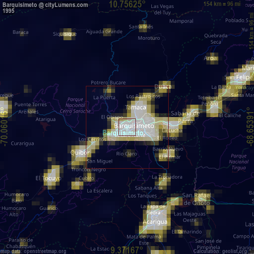
» NASA, Earths city lights 1995
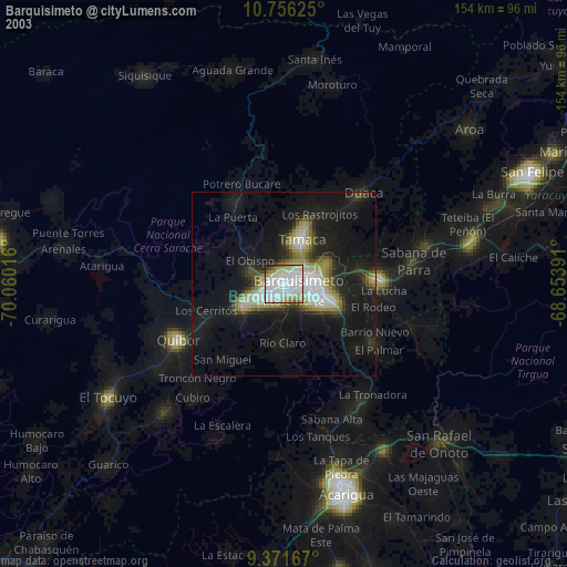
» NASA city lights 2003
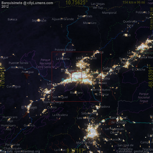
» Earth at Night: Flat Maps 2012, 2016