Quíbor night lights from space
Night Light of Quíbor (Lara) from space (Venezuela) Src. Average luminocity for 10x10km area is 32.2975% and for 50x50km: 8.3346%.
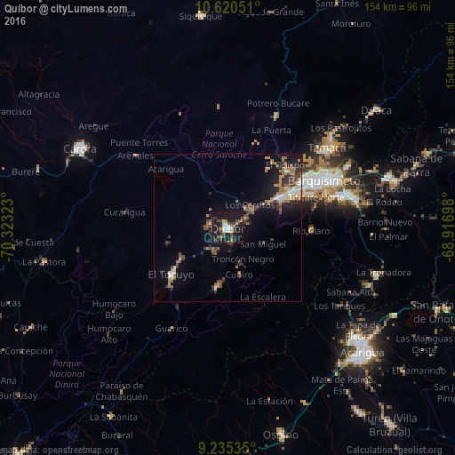
Analysis of Quíbor night lights 2016
Square area 10x10 km:
 4.34%
4.34%90-99
4.75%80-89
1.24%70-79
3.72%60-69
5.17%50-59
2.27%40-49
9.5%30-39
5.37%20-29
8.06%10-19
49.38%0-9
6.2%Square area 50x50 km:
0.72%90-99
0.92%80-89
0.45%70-79
1.3%60-69
2.13%50-59
0.78%40-49
1.55%30-39
1.53%20-29
2.2%10-19
6.35%0-9
82.08%Clear (daylight) street map image can be seen on geolist.org.
Map coordinates:
10° 37' 13.8" North, 70° 19' 23.6" West
9° 55' 43.2" North, 69° 37' 12.4" West
9° 14' 7.3" North, 68° 55' 1.1" West
Some cities around Quíbor sort by population:
• Barquisimeto
32.5 km =20.2 mi,  62°
62°
• Acarigua
62.4 km =38.8 mi,  131°
131°
• Carora
57.3 km =35.6 mi,  298°
298°
• Yaritagua
56.9 km =35.4 mi,  72°
72°
• Araure
56.9 km =35.4 mi, 132°
• El Tocuyo
24.6 km =15.3 mi,  230°
230°
• Chivacoa
83.5 km =51.9 mi, 72°
• Los Rastrojos
42.8 km =26.6 mi,  75°
75°
3629419 (p: 41,526)
Sources (retrieved 2019-11-25):
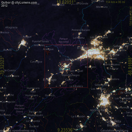
» Earth at Night: Flat Maps 2012, 2016