Acarigua night lights from space
Night Light of Acarigua (Portuguesa) from space (Venezuela) Src. Average luminocity for 10x10km area is 74.1948% and for 50x50km: 9.1669%.
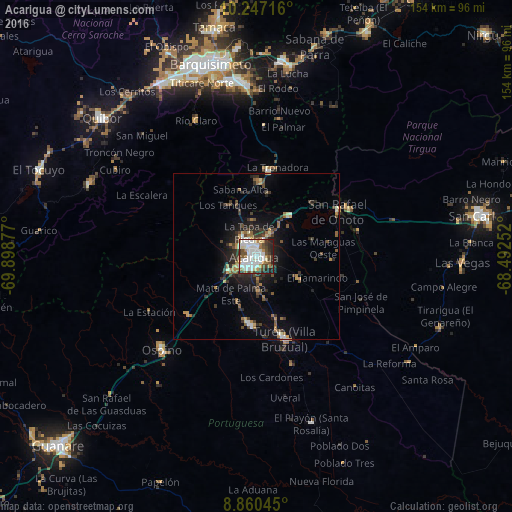
Analysis of Acarigua night lights 2016
Square area 10x10 km:
 28.14%
90-99
22.51%80-89
3.9%70-79
3.68%60-69
9.96%50-59
4.55%40-49
10.39%30-39
7.36%20-29
8.66%10-19
0.87%0-9
0%Square area 50x50 km:
1.3%90-99
1.33%80-89
0.48%70-79
0.88%60-69
1.63%50-59
1.07%40-49
1.73%30-39
2.13%20-29
2.61%10-19
4.7%0-9
82.13%Clear (daylight) street map image can be seen on geolist.org.
Map coordinates:
10° 14' 49.8" North, 69° 53' 55.6" West
9° 33' 16.2" North, 69° 11' 44.3" West
8° 51' 37.6" North, 68° 29' 33.1" West
Some cities around Acarigua sort by population:
• Barquisimeto
59.4 km =36.9 mi,  342°
342°
• Yaritagua
59 km =36.7 mi,  7°
7°
• San Carlos
68.2 km =42.4 mi,  79°
79°
• Araure
5.6 km =3.5 mi,  302°
302°
• El Tocuyo
70.4 km =43.7 mi,  291°
291°
• Quíbor
62.4 km =38.8 mi,  311°
311°
• Los Rastrojos
52.7 km =32.7 mi,  354°
354°
• Villa Bruzual
26.1 km =16.2 mi,  161°
161°
3649833 (p: 143,704)
Sources (retrieved 2019-11-25):
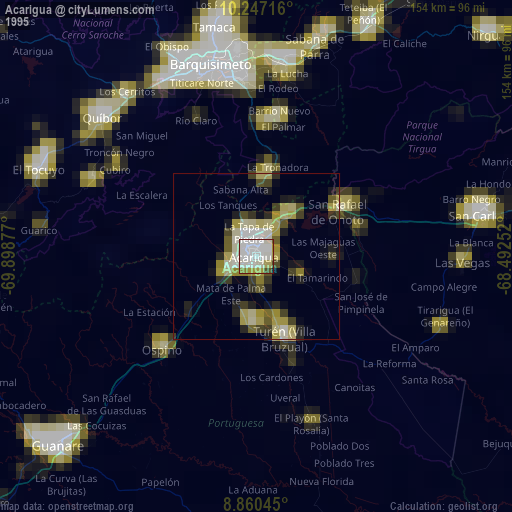
» NASA, Earths city lights 1995
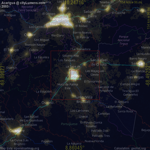
» NASA city lights 2003
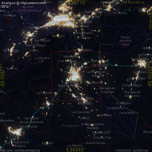
» Earth at Night: Flat Maps 2012, 2016