Villa Bruzual night lights from space
Night Light of Villa Bruzual (Portuguesa) from space (Venezuela) Src. Average luminocity for 10x10km area is 17.6126% and for 50x50km: 5.1648%.
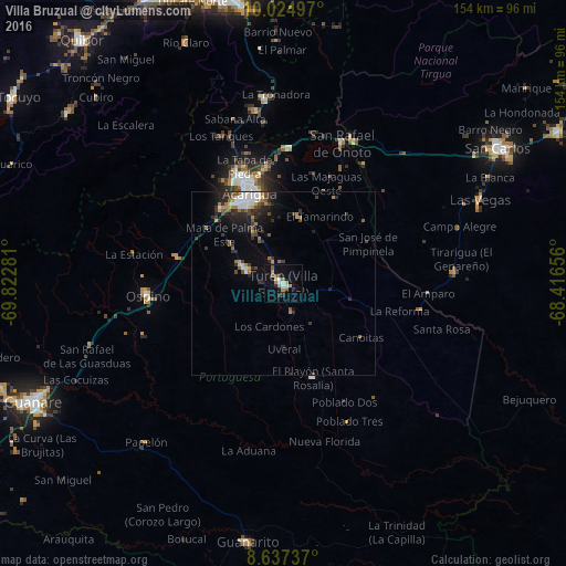
Analysis of Villa Bruzual night lights 2016
Square area 10x10 km:
 1.95%
1.95%90-99
2.6%80-89
0.65%70-79
2.6%60-69
4.11%50-59
2.6%40-49
0.65%30-39
2.38%20-29
2.81%10-19
6.49%0-9
73.16%Square area 50x50 km:
0.7%90-99
0.72%80-89
0.2%70-79
0.49%60-69
1.05%50-59
0.65%40-49
0.72%30-39
1.27%20-29
1.52%10-19
2.57%0-9
90.13%Clear (daylight) street map image can be seen on geolist.org.
Map coordinates:
10° 1' 29.9" North, 69° 49' 22.1" West
9° 19' 54.7" North, 69° 7' 10.8" West
8° 38' 14.5" North, 68° 24' 59.6" West
Some cities around Villa Bruzual sort by population:
• Barquisimeto
85.5 km =53.1 mi,  342°
342°
• Acarigua
26.1 km =16.2 mi, 341°
• Guanare
75.5 km =46.9 mi,  244°
244°
• Yaritagua
83.3 km =51.8 mi,  359°
359°
• San Carlos
69.3 km =43.1 mi,  58°
58°
• Araure
30.7 km =19.1 mi,  334°
334°
• Quíbor
86.1 km =53.5 mi,  320°
320°
• Los Rastrojos
78.3 km =48.7 mi,  350°
350°
3625346 (p: 27,993)
Sources (retrieved 2019-11-25):
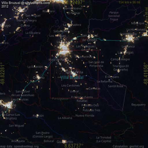
» Earth at Night: Flat Maps 2012, 2016