Guanare night lights from space
Night Light of Guanare (Portuguesa) from space (Venezuela) Src. Average luminocity for 10x10km area is 56.9394% and for 50x50km: 4.264%.
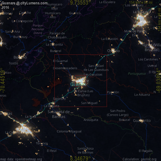
Analysis of Guanare night lights 2016
Square area 10x10 km:
 12.99%
90-99
14.72%80-89
3.9%70-79
12.34%60-69
5.41%50-59
3.68%40-49
5.41%30-39
8.23%20-29
19.7%10-19
13.64%0-9
0%Square area 50x50 km:
0.51%90-99
0.61%80-89
0.25%70-79
0.83%60-69
0.51%50-59
0.37%40-49
0.64%30-39
0.74%20-29
1.46%10-19
3.32%0-9
90.75%Clear (daylight) street map image can be seen on geolist.org.
Map coordinates:
9° 44' 7.9" North, 70° 26' 42.7" West
9° 2' 30.6" North, 69° 44' 31.4" West
8° 20' 48.4" North, 69° 2' 20.2" West
Some cities around Guanare sort by population:
• Barinas
69.2 km =43 mi,  227°
227°
• Alto Barinas
72.9 km =45.3 mi, 226°
• Acarigua
82.7 km =51.4 mi,  46°
46°
• Araure
81.6 km =50.7 mi,  42°
42°
• El Tocuyo
83.1 km =51.6 mi,  356°
356°
• Trujillo
84.3 km =52.4 mi,  295°
295°
• Barinitas
79.9 km =49.6 mi,  247°
247°
• Villa Bruzual
75.5 km =46.9 mi,  64°
64°
3640226 (p: 112,286)
Sources (retrieved 2019-11-25):
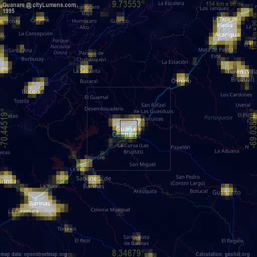
» NASA, Earths city lights 1995
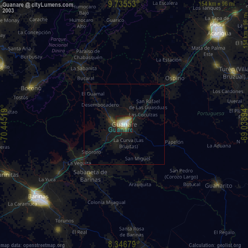
» NASA city lights 2003
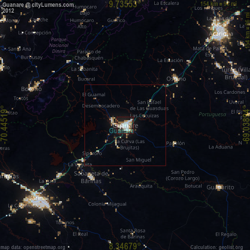
» Earth at Night: Flat Maps 2012, 2016