Trujillo night lights from space
Night Light of Trujillo from space (Venezuela) Src. Average luminocity for 10x10km area is 16.619% and for 50x50km: 7.5905%.
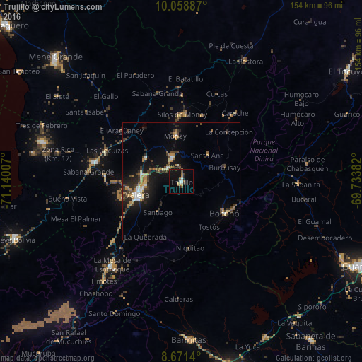
Analysis of Trujillo night lights 2016
Square area 10x10 km:
 0.65%
0.65%90-99
3.68%80-89
1.52%70-79
0.87%60-69
3.25%50-59
2.16%40-49
1.73%30-39
1.95%20-29
2.6%10-19
20.78%0-9
60.82%Square area 50x50 km:
0.65%90-99
0.98%80-89
0.63%70-79
0.93%60-69
1.38%50-59
0.75%40-49
1.31%30-39
1.75%20-29
2.01%10-19
6.53%0-9
83.08%Clear (daylight) street map image can be seen on geolist.org.
Map coordinates:
10° 3' 31.9" North, 71° 8' 24.3" West
9° 21' 57" North, 70° 26' 13" West
8° 40' 17" North, 69° 44' 1.8" West
Some cities around Trujillo sort by population:
• Barinas
86.4 km =53.7 mi,  163°
163°
• Alto Barinas
89 km =55.3 mi, 164°
• Guanare
84.3 km =52.4 mi,  115°
115°
• Carora
97.8 km =60.8 mi,  23°
23°
• Valera
19.1 km =11.9 mi,  253°
253°
• El Tocuyo
84.7 km =52.6 mi,  56°
56°
• Quíbor
109.2 km =67.9 mi, 55°
• Barinitas
67.2 km =41.8 mi,  177°
177°
3625979 (p: 38,110)
Sources (retrieved 2019-11-25):
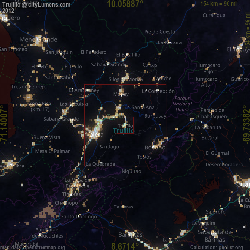
» Earth at Night: Flat Maps 2012, 2016