El Tocuyo night lights from space
Night Light of El Tocuyo (Lara) from space (Venezuela) Src. Average luminocity for 10x10km area is 19.2359% and for 50x50km: 3.9165%.
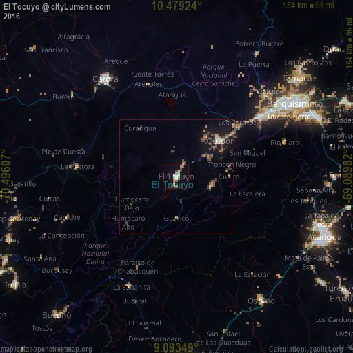

Analysis of El Tocuyo night lights 2016
Square area 10x10 km:
 2.6%
2.6%90-99
3.03%80-89
1.95%70-79
2.81%60-69
3.68%50-59
1.52%40-49
2.81%30-39
1.52%20-29
1.95%10-19
3.68%0-9
74.46%Square area 50x50 km:
0.28%90-99
0.37%80-89
0.19%70-79
0.5%60-69
0.75%50-59
0.41%40-49
1.09%30-39
0.83%20-29
0.91%10-19
3.02%0-9
91.64%Clear (daylight) street map image can be seen on geolist.org.
Map coordinates:
10° 28' 45.3" North, 70° 29' 45.9" West
9° 47' 13.5" North, 69° 47' 34.6" West
9° 5' 36.6" North, 69° 5' 23.4" West
Some cities around El Tocuyo sort by population:
• Barquisimeto
56.9 km =35.4 mi,  57°
57°
• Acarigua
70.4 km =43.7 mi,  111°
111°
• Guanare
83.1 km =51.6 mi,  176°
176°
• Carora
53.2 km =33.1 mi,  323°
323°
• Yaritagua
80.2 km =49.8 mi,  65°
65°
• Araure
64.9 km =40.3 mi, 110°
• Quíbor
24.6 km =15.3 mi,  50°
50°
• Los Rastrojos
66 km =41 mi, 66°
3641275 (p: 53,099)
Sources (retrieved 2019-11-25):
» NASA, Earths city lights 1995
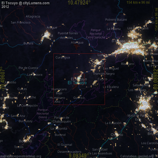
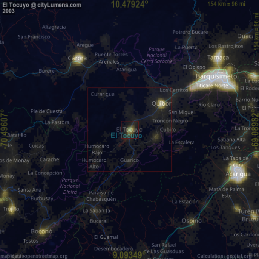
» NASA city lights 2003
» Earth at Night: Flat Maps 2012, 2016