Barinas night lights from space
Night Light of Barinas from space (Venezuela) Src. Average luminocity for 10x10km area is 66.7624% and for 50x50km: 8.4766%.
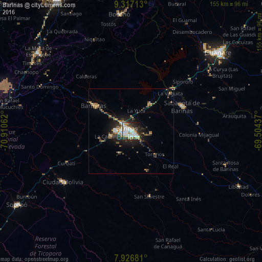
Analysis of Barinas night lights 2016
Square area 10x10 km:
 21.49%
90-99
18.18%80-89
4.96%70-79
8.68%60-69
6.82%50-59
3.93%40-49
6.2%30-39
9.5%20-29
13.84%10-19
6.4%0-9
0%Square area 50x50 km:
1.19%90-99
1.23%80-89
0.39%70-79
1.5%60-69
1.19%50-59
0.87%40-49
1.28%30-39
1.9%20-29
2.76%10-19
4.88%0-9
82.82%Clear (daylight) street map image can be seen on geolist.org.
Map coordinates:
9° 19' 1.7" North, 70° 54' 38.2" West
8° 37' 21.4" North, 70° 12' 27" West
7° 55' 36.5" North, 69° 30' 15.7" West
Some cities around Barinas sort by population:
• Mérida
104.4 km =64.9 mi,  267°
267°
• Alto Barinas
3.9 km =2.4 mi,  211°
211°
• Mucumpiz
104.4 km =64.9 mi,  257°
257°
• Guanare
69.2 km =43 mi,  47°
47°
• Ejido
113.9 km =70.8 mi, 265°
• Valera
88.7 km =55.1 mi,  330°
330°
• El Tocuyo
137.2 km =85.3 mi,  19°
19°
• Trujillo
86.4 km =53.7 mi,  343°
343°
3648546 (p: 353,442)
Sources (retrieved 2019-11-25):
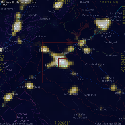
» NASA, Earths city lights 1995
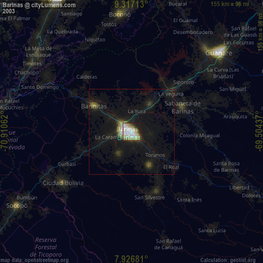
» NASA city lights 2003
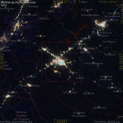
» Earth at Night: Flat Maps 2012, 2016