Barinitas night lights from space
Night Light of Barinitas (Barinas) from space (Venezuela) Src. Average luminocity for 10x10km area is 15.1467% and for 50x50km: 6.2726%.
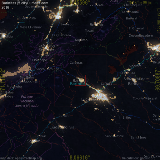
Analysis of Barinitas night lights 2016
Square area 10x10 km:
 0.41%
0.41%90-99
0.41%80-89
0%70-79
7.23%60-69
4.75%50-59
0.62%40-49
3.1%30-39
2.48%20-29
0.83%10-19
1.45%0-9
78.72%Square area 50x50 km:
1.08%90-99
1.15%80-89
0.28%70-79
1.02%60-69
0.94%50-59
0.51%40-49
0.8%30-39
1.16%20-29
1.99%10-19
3.32%0-9
87.76%Clear (daylight) street map image can be seen on geolist.org.
Map coordinates:
9° 27' 21.5" North, 71° 6' 54.4" West
8° 45' 42.2" North, 70° 24' 43.2" West
8° 3' 58.2" North, 69° 42' 31.9" West
Some cities around Barinitas sort by population:
• Mérida
84 km =52.2 mi,  256°
256°
• Alto Barinas
27.7 km =17.2 mi,  132°
132°
• Mucumpiz
88.1 km =54.7 mi,  244°
244°
• Guanare
79.9 km =49.6 mi,  67°
67°
• Ejido
94.2 km =58.5 mi, 255°
• Valera
65.3 km =40.6 mi,  341°
341°
• El Tocuyo
132.7 km =82.5 mi,  30°
30°
• Trujillo
67.2 km =41.8 mi,  357°
357°
3648540 (p: 34,397)
Sources (retrieved 2019-11-25):
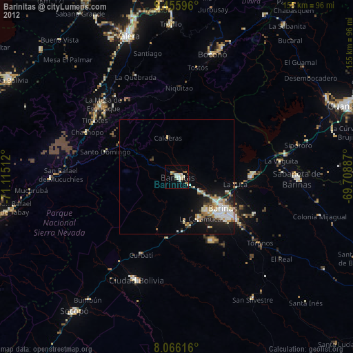
» Earth at Night: Flat Maps 2012, 2016