Santa Elena de Uairén night lights from space
Night Light of Santa Elena de Uairén (Bolívar) from space (Venezuela) Src. Average luminocity for 10x10km area is 16.2231% and for 50x50km: 0.9677%.
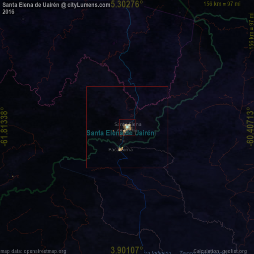
Analysis of Santa Elena de Uairén night lights 2016
Square area 10x10 km:
 0%
0%90-99
2.07%80-89
3.72%70-79
0%60-69
4.96%50-59
0.83%40-49
5.79%30-39
4.13%20-29
0.83%10-19
1.03%0-9
76.65%Square area 50x50 km:
0%90-99
0.09%80-89
0.19%70-79
0.08%60-69
0.27%50-59
0.1%40-49
0.24%30-39
0.26%20-29
0.1%10-19
0.06%0-9
98.62%Clear (daylight) street map image can be seen on geolist.org.
Map coordinates:
5° 18' 9.9" North, 61° 48' 48.2" West
4° 36' 8.1" North, 61° 6' 36.9" West
3° 54' 3.9" North, 60° 24' 25.7" West
Some cities around Santa Elena de Uairén sort by population:
• Boa Vista, BR
204 km =126.8 mi,  166°
166°
• Georgetown, GY
408.5 km =253.8 mi,  53°
53°
• Upata
405.7 km =252.1 mi,  339°
339°
• Linden, GY
347.5 km =215.9 mi,  63°
63°
• Bartica, GY
340.8 km =211.8 mi, 53°
• Mahdia, GY
229.4 km =142.5 mi,  71°
71°
• Vreed-en-Hoop, GY
405 km =251.7 mi, 52°
• Lethem, GY
198.7 km =123.5 mi,  133°
133°
3627382 (p: 29,795)
Sources (retrieved 2019-11-25):
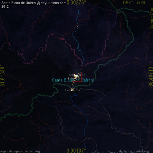
» Earth at Night: Flat Maps 2012, 2016