Upata night lights from space
Night Light of Upata (Bolívar) from space (Venezuela) Src. Average luminocity for 10x10km area is 51.9194% and for 50x50km: 3.9831%.
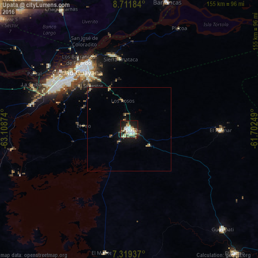
Analysis of Upata night lights 2016
Square area 10x10 km:
 7.64%
7.64%90-99
14.88%80-89
11.36%70-79
5.17%60-69
3.31%50-59
3.51%40-49
3.93%30-39
11.57%20-29
11.16%10-19
24.79%0-9
2.69%Square area 50x50 km:
0.31%90-99
0.69%80-89
0.65%70-79
0.42%60-69
0.32%50-59
0.41%40-49
0.51%30-39
0.94%20-29
0.82%10-19
3.42%0-9
91.52%Clear (daylight) street map image can be seen on geolist.org.
Map coordinates:
8° 42' 42.6" North, 63° 6' 31.5" West
8° 0' 58.3" North, 62° 24' 20.2" West
7° 19' 9.7" North, 61° 42' 9" West
Some cities around Upata sort by population:
• Ciudad Guayana
45.4 km =28.2 mi,  325°
325°
• Maturín
210.4 km =130.7 mi,  336°
336°
• Ciudad Bolívar
125.6 km =78 mi,  275°
275°
• El Tigre
225.1 km =139.9 mi,  295°
295°
• San José de Guanipa
216.4 km =134.5 mi, 296°
• Tucupita
122.3 km =76 mi,  18°
18°
• Point Fortin, TT
252.7 km =157 mi, 18°
• Siparia, TT
256.4 km =159.3 mi, 22°
3625710 (p: 53,685)
Sources (retrieved 2019-11-25):
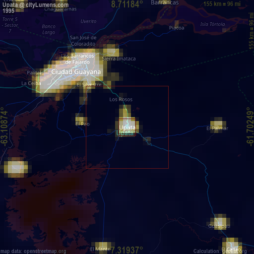
» NASA, Earths city lights 1995
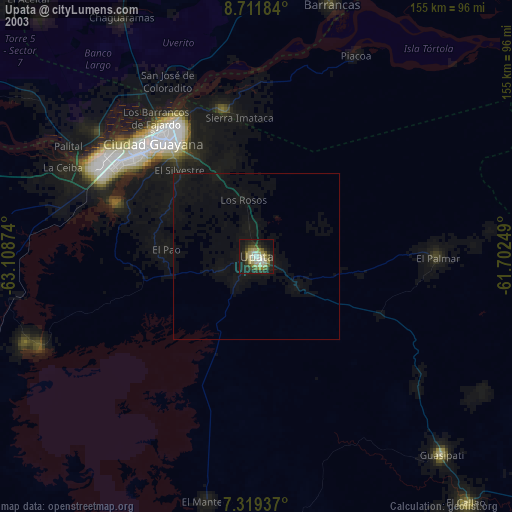
» NASA city lights 2003
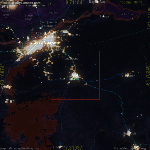
» Earth at Night: Flat Maps 2012, 2016