Linden night lights from space
Night Light of Linden (Upper Demerara-Berbice) from space (Guyana) Src. Average luminocity for 10x10km area is 29.6074% and for 50x50km: 1.5589%.
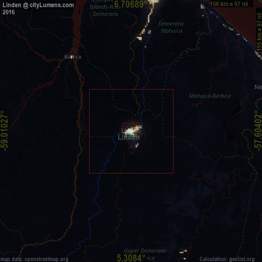
Analysis of Linden night lights 2016
Square area 10x10 km:
 2.69%
2.69%90-99
7.64%80-89
5.58%70-79
0.62%60-69
3.72%50-59
3.72%40-49
4.75%30-39
4.55%20-29
0.62%10-19
31.4%0-9
34.71%Square area 50x50 km:
0.11%90-99
0.33%80-89
0.24%70-79
0.07%60-69
0.19%50-59
0.19%40-49
0.29%30-39
0.2%20-29
0.03%10-19
1.38%0-9
96.97%Clear (daylight) street map image can be seen on geolist.org.
Map coordinates:
6° 42' 24.8" North, 59° 0' 37" West
6° 0' 29.1" North, 58° 18' 25.7" West
5° 18' 30.2" North, 57° 36' 14.5" West
Some cities around Linden sort by population:
• Georgetown
90.1 km =56 mi,  10°
10°
• New Amsterdam
91.3 km =56.7 mi,  73°
73°
• Bartica
56.5 km =35.1 mi,  321°
321°
• Skeldon
130.6 km =81.2 mi,  96°
96°
• Rosignol
90 km =55.9 mi, 71°
• Mahdia
124.5 km =77.4 mi,  228°
228°
• Vreed-en-Hoop
89.9 km =55.9 mi, 7°
• Fort Wellington
88.6 km =55.1 mi,  61°
61°
3377408 (p: 44,690)
Sources (retrieved 2019-11-25):
» Earth at Night: Flat Maps 2012, 2016