Mahdia night lights from space
Night Light of Mahdia (Potaro-Siparuni) from space (Guyana) Src. Average luminocity for 10x10km area is 0.157% and for 50x50km: 0.0065%.
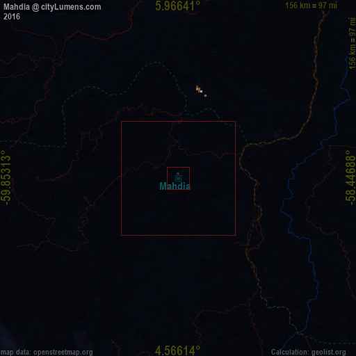
Analysis of Mahdia night lights 2016
Square area 10x10 km:
 0%
0%90-99
0%80-89
0%70-79
0%60-69
0%50-59
0%40-49
0%30-39
0%20-29
0%10-19
0.83%0-9
99.17%Square area 50x50 km:
0%90-99
0%80-89
0%70-79
0%60-69
0%50-59
0%40-49
0%30-39
0%20-29
0%10-19
0.03%0-9
99.97%Clear (daylight) street map image can be seen on geolist.org.
Map coordinates:
5° 57' 59.1" North, 59° 51' 11.3" West
5° 16' 0" North, 59° 9' 0" West
4° 33' 58.1" North, 58° 26' 48.8" West
Some cities around Mahdia sort by population:
• Georgetown
203.3 km =126.3 mi,  32°
32°
• Linden
124.5 km =77.4 mi,  48°
48°
• New Amsterdam
211 km =131.1 mi,  58°
58°
• Bartica
139.7 km =86.8 mi,  24°
24°
• Rosignol
210.5 km =130.8 mi, 57°
• Vreed-en-Hoop
201.2 km =125 mi, 31°
• Lethem
221.5 km =137.6 mi,  198°
198°
• Fort Wellington
211.8 km =131.6 mi, 53°
3377263 (p: 4,200)
Sources (retrieved 2019-11-25):
» Earth at Night: Flat Maps 2012, 2016