Boa Vista night lights from space
Night Light of Boa Vista (Roraima) from space (Brazil) Src. Average luminocity for 10x10km area is 69.9848% and for 50x50km: 7.7804%.
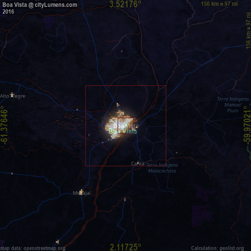
Analysis of Boa Vista night lights 2016
Square area 10x10 km:
 19.48%
90-99
18.61%80-89
6.06%70-79
4.55%60-69
16.23%50-59
9.52%40-49
7.36%30-39
8.44%20-29
6.06%10-19
3.46%0-9
0.22%Square area 50x50 km:
1.45%90-99
1.42%80-89
0.81%70-79
0.7%60-69
1.32%50-59
1.08%40-49
0.93%30-39
1.12%20-29
1.85%10-19
4.47%0-9
84.82%Clear (daylight) street map image can be seen on geolist.org.
Map coordinates:
3° 31' 18.3" North, 61° 22' 35.3" West
2° 49' 11" North, 60° 40' 24" West
2° 7' 2.1" North, 59° 58' 12.8" West
Some cities around Boa Vista sort by population:
• Linden, GY
441 km =274 mi,  36°
36°
• New Amsterdam, GY
517.3 km =321.4 mi, 42°
• Santa Elena de Uairén, VE
204 km =126.8 mi,  346°
346°
• Bartica, GY
459.2 km =285.3 mi,  29°
29°
• Barcelos
490.6 km =304.8 mi,  210°
210°
• Rosignol, GY
517.8 km =321.7 mi, 42°
• Mahdia, GY
320.3 km =199 mi, 31°
• Lethem, GY
115.5 km =71.8 mi,  57°
57°
3664980 (p: 235,150)
Sources (retrieved 2019-11-25):
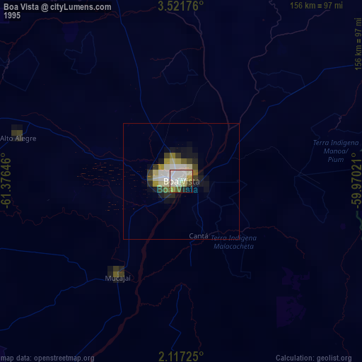
» NASA, Earths city lights 1995
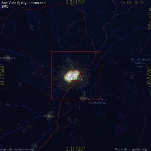
» NASA city lights 2003
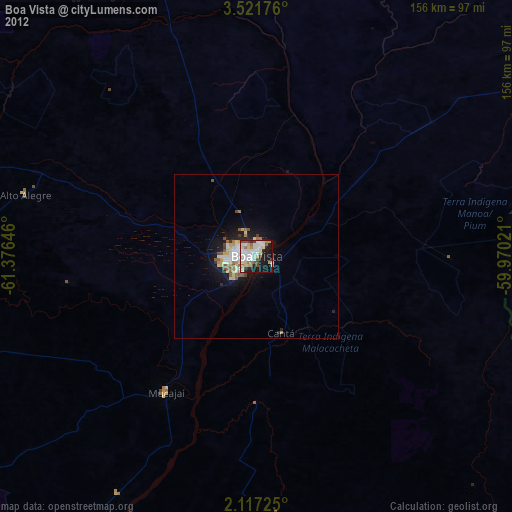
» Earth at Night: Flat Maps 2012, 2016