Lethem night lights from space
Night Light of Lethem (Upper Takutu-Upper Essequibo) from space (Guyana) Src. Average luminocity for 10x10km area is 7.4957% and for 50x50km: 0.3192%.
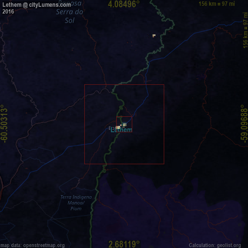
Analysis of Lethem night lights 2016
Square area 10x10 km:
 0%
0%90-99
0.22%80-89
2.38%70-79
1.73%60-69
2.6%50-59
0%40-49
1.73%30-39
0.87%20-29
0.87%10-19
0%0-9
89.61%Square area 50x50 km:
0%90-99
0.01%80-89
0.1%70-79
0.07%60-69
0.1%50-59
0%40-49
0.07%30-39
0.03%20-29
0.03%10-19
0%0-9
99.58%Clear (daylight) street map image can be seen on geolist.org.
Map coordinates:
4° 5' 5.9" North, 60° 30' 11.3" West
3° 22' 60" North, 59° 48' 0" West
2° 40' 52.3" North, 59° 5' 48.8" West
Some cities around Lethem sort by population:
• Boa Vista, BR
115.5 km =71.8 mi,  237°
237°
• Linden
335.5 km =208.5 mi,  29°
29°
• New Amsterdam
406.7 km =252.7 mi,  38°
38°
• Santa Elena de Uairén, VE
198.7 km =123.5 mi,  313°
313°
• Bartica
360.7 km =224.1 mi,  21°
21°
• Skeldon
405.7 km =252.1 mi,  46°
46°
• Rosignol
407.4 km =253.1 mi, 37°
• Mahdia
221.5 km =137.6 mi, 18°
3377425 (p: 716)
Sources (retrieved 2019-11-25):
» Earth at Night: Flat Maps 2012, 2016