Puerto Ayacucho night lights from space
Night Light of Puerto Ayacucho (Amazonas) from space (Venezuela) Src. Average luminocity for 10x10km area is 32.1983% and for 50x50km: 1.6933%.
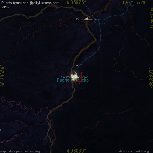
Analysis of Puerto Ayacucho night lights 2016
Square area 10x10 km:
 4.75%
4.75%90-99
9.71%80-89
0.41%70-79
6.82%60-69
6.82%50-59
2.89%40-49
0%30-39
1.65%20-29
0.83%10-19
33.47%0-9
32.64%Square area 50x50 km:
0.2%90-99
0.4%80-89
0.05%70-79
0.28%60-69
0.35%50-59
0.12%40-49
0.03%30-39
0.07%20-29
0.14%10-19
1.9%0-9
96.45%Clear (daylight) street map image can be seen on geolist.org.
Map coordinates:
6° 21' 35.1" North, 68° 17' 11.6" West
5° 39' 37.8" North, 67° 35' 0.3" West
4° 57' 37.4" North, 66° 52' 49.1" West
Some cities around Puerto Ayacucho sort by population:
• Alto Barinas
437.4 km =271.8 mi,  318°
318°
• Calabozo
363.3 km =225.7 mi,  2°
2°
• Valle de La Pascua
431.8 km =268.3 mi,  23°
23°
• San Fernando de Apure
248 km =154.1 mi, 2°
• Arauca, CO
385 km =239.2 mi,  294°
294°
• Guasdualito
389.8 km =242.2 mi,  296°
296°
• Cumaribo, CO
280.1 km =174 mi,  241°
241°
• Inírida, CO
203.1 km =126.2 mi,  190°
190°
3629710 (p: 52,526)
Sources (retrieved 2019-11-25):
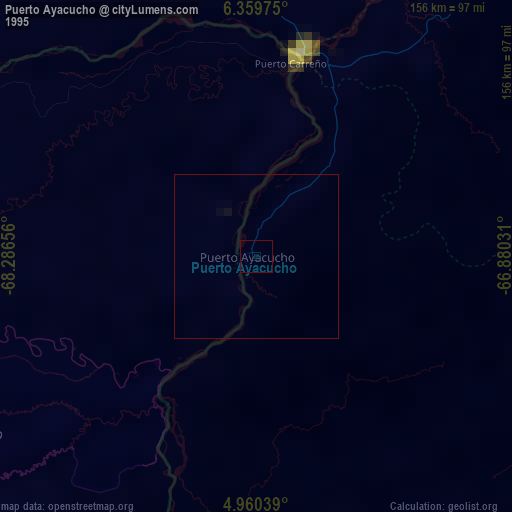
» NASA, Earths city lights 1995
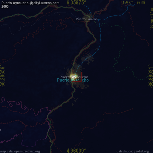
» NASA city lights 2003
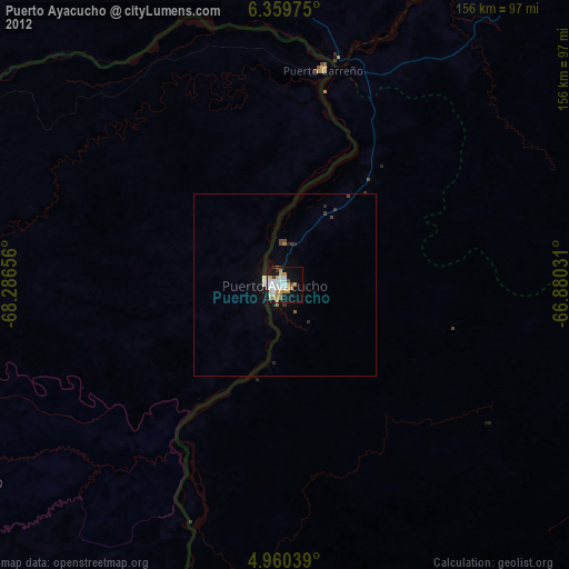
» Earth at Night: Flat Maps 2012, 2016