Cumaribo night lights from space
Night Light of Cumaribo (Vichada) from space (Colombia) Src. Average luminocity for 10x10km area is 0.4504% and for 50x50km: 0.0187%.

Analysis of Cumaribo night lights 2016
Square area 10x10 km:
 0%
0%90-99
0%80-89
0%70-79
0%60-69
0%50-59
0.83%40-49
0%30-39
0%20-29
0%10-19
0%0-9
99.17%Square area 50x50 km:
0%90-99
0%80-89
0%70-79
0%60-69
0%50-59
0.03%40-49
0%30-39
0%20-29
0%10-19
0%0-9
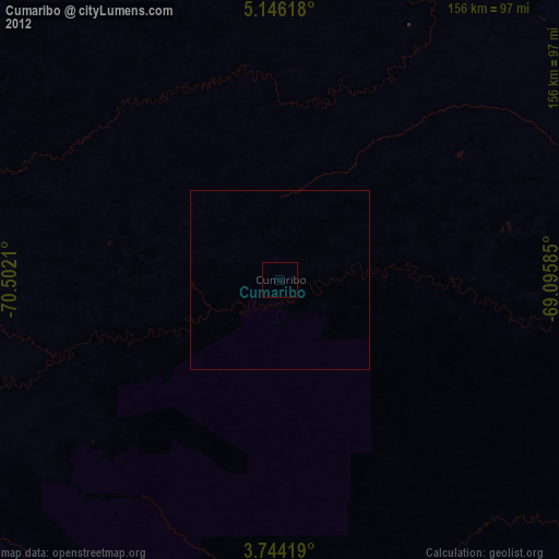
99.97%Clear (daylight) street map image can be seen on geolist.org.
Map coordinates:
5° 8' 46.2" North, 70° 30' 7.6" West
4° 26' 43.9" North, 69° 47' 56.3" West
3° 44' 39.1" North, 69° 5' 45.1" West
Some cities around Cumaribo sort by population:
• Arauca
312.1 km =193.9 mi,  340°
340°
• Yopal
304.3 km =189.1 mi,  289°
289°
• Puerto Ayacucho, VE
280.1 km =174 mi,  61°
61°
• Tame
310.1 km =192.7 mi,  316°
316°
• Villanueva
257.6 km =160.1 mi, 291°
• Inírida
217.7 km =135.3 mi,  107°
107°
• Maní
278 km =172.7 mi,  278°
278°
• Puerto Gaitán
253.5 km =157.5 mi,  266°
266°
3685435 (p: 23,990)
Sources (retrieved 2019-11-25):
» Earth at Night: Flat Maps 2012, 2016