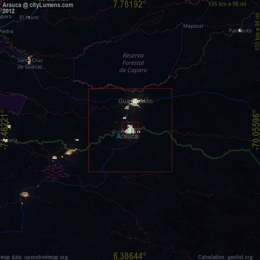
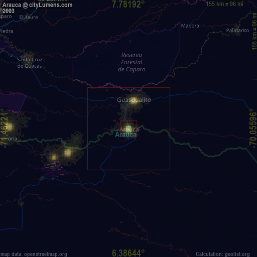
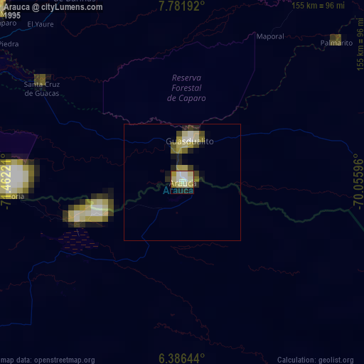
Arauca night lights from space
Night Light of Arauca from space (Colombia) Src. Average luminocity for 10x10km area is 26.7121% and for 50x50km: 1.9515%.
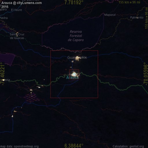
Analysis of Arauca night lights 2016
Square area 10x10 km:
 5.41%
5.41%90-99
4.98%80-89
1.95%70-79
2.81%60-69
4.76%50-59
2.38%40-49
1.95%30-39
3.46%20-29
2.6%10-19
22.94%0-9
46.75%Square area 50x50 km:
0.22%90-99
0.27%80-89
0.13%70-79
0.25%60-69
0.38%50-59
0.23%40-49
0.16%30-39
0.37%20-29
0.25%10-19
1.06%0-9
96.69%Clear (daylight) street map image can be seen on geolist.org.
Map coordinates:
7° 46' 54.9" North, 71° 27' 44" West
7° 5' 5" North, 70° 45' 32.7" West
6° 23' 11.2" North, 70° 3' 21.5" West
Some cities around Arauca sort by population:
• Mérida, VE
173 km =107.5 mi,  345°
345°
• Alto Barinas, VE
177.7 km =110.4 mi,  19°
19°
• San Cristóbal, VE
178.5 km =110.9 mi,  295°
295°
• Mucumpiz, VE
153.7 km =95.5 mi,  344°
344°
• Ejido, VE
171 km =106.3 mi, 341°
• Guasdualito, VE
17.8 km =11.1 mi,  9°
9°
• Tame
128.3 km =79.7 mi,  237°
237°
• Arauquita
74.1 km =46 mi,  265°
265°
3689718 (p: 69,264)
Sources (retrieved 2019-11-25):
» NASA, Earths city lights 1995
» NASA city lights 2003
» Earth at Night: Flat Maps 2012, 2016