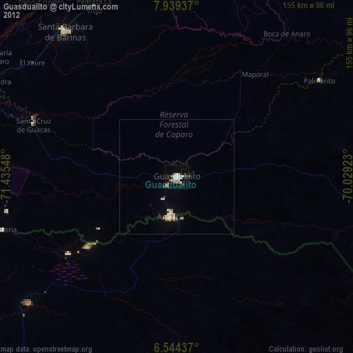
Guasdualito night lights from space
Night Light of Guasdualito (Apure) from space (Venezuela) Src. Average luminocity for 10x10km area is 16.2424% and for 50x50km: 1.947%.
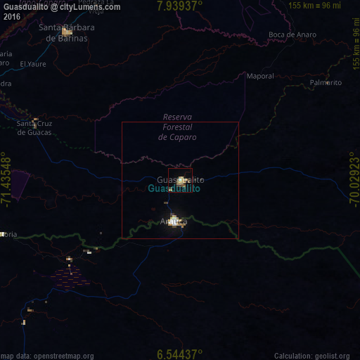
Analysis of Guasdualito night lights 2016
Square area 10x10 km:
 0%
0%90-99
1.73%80-89
1.3%70-79
3.46%60-69
4.76%50-59
3.46%40-49
1.95%30-39
4.11%20-29
1.95%10-19
2.16%0-9
75.11%Square area 50x50 km:
0.22%90-99
0.27%80-89
0.13%70-79
0.25%60-69
0.38%50-59
0.23%40-49
0.16%30-39
0.37%20-29
0.25%10-19
1.06%0-9
96.69%Clear (daylight) street map image can be seen on geolist.org.
Map coordinates:
7° 56' 21.7" North, 71° 26' 7.7" West
7° 14' 32.7" North, 70° 43' 56.5" West
6° 32' 39.7" North, 70° 1' 45.2" West
Some cities around Guasdualito sort by population:
• Barinas
164 km =101.9 mi,  20°
20°
• Mérida
156.9 km =97.5 mi,  342°
342°
• Alto Barinas
160.2 km =99.5 mi, 20°
• Mucumpiz
137.8 km =85.6 mi, 341°
• Ejido
155.5 km =96.6 mi, 338°
• Arauca, CO
17.8 km =11.1 mi,  189°
189°
• Tame, CO
140.8 km =87.5 mi,  231°
231°
• Arauquita, CO
80.3 km =49.9 mi,  252°
252°
3804949 (p: 30,860)
Sources (retrieved 2019-11-25):
» Earth at Night: Flat Maps 2012, 2016