Valle de La Pascua night lights from space
Night Light of Valle de La Pascua (Guárico) from space (Venezuela) Src. Average luminocity for 10x10km area is 43.9026% and for 50x50km: 2.4121%.
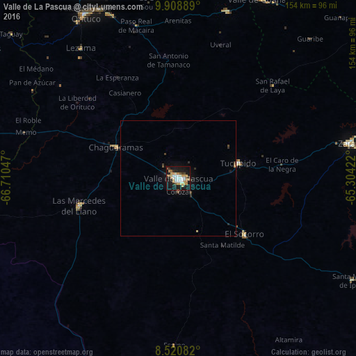
Analysis of Valle de La Pascua night lights 2016
Square area 10x10 km:
 6.93%
6.93%90-99
9.96%80-89
7.14%70-79
11.26%60-69
1.95%50-59
3.46%40-49
2.6%30-39
1.08%20-29
7.79%10-19
43.72%0-9
4.11%Square area 50x50 km:
0.27%90-99
0.39%80-89
0.31%70-79
0.48%60-69
0.08%50-59
0.27%40-49
0.2%30-39
0.22%20-29
0.47%10-19
2.57%0-9
94.73%Clear (daylight) street map image can be seen on geolist.org.
Map coordinates:
9° 54' 32" North, 66° 42' 37.7" West
9° 12' 55.9" North, 66° 0' 26.4" West
8° 31' 15" North, 65° 18' 15.2" West
Some cities around Valle de La Pascua sort by population:
• Santa Teresa del Tuy
134.1 km =83.3 mi,  327°
327°
• Guatire
151.7 km =94.3 mi,  337°
337°
• Cúa
142.4 km =88.5 mi,  317°
317°
• Ocumare del Tuy
131 km =81.4 mi, 320°
• Charallave
147.4 km =91.6 mi, 320°
• Caucaguita
154 km =95.7 mi, 325°
• Zaraza
76.4 km =47.5 mi,  78°
78°
• Altagracia de Orituco
82.6 km =51.3 mi, 330°
3625515 (p: 89,080)
Sources (retrieved 2019-11-25):
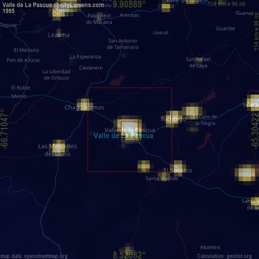
» NASA, Earths city lights 1995
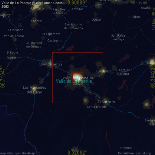
» NASA city lights 2003
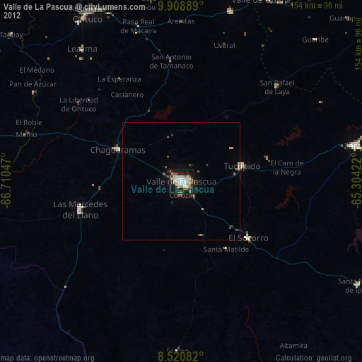
» Earth at Night: Flat Maps 2012, 2016