Inírida night lights from space
Night Light of Inírida (Guainía) from space (Colombia) Src. Average luminocity for 10x10km area is 3.8615% and for 50x50km: 0.1662%.
Analysis of Inírida night lights 2016
Square area 10x10 km:
 1.08%
1.08%90-99
0.65%80-89
0%70-79
0%60-69
0%50-59
1.73%40-49
0.87%30-39
0.87%20-29
0%10-19
0%0-9
94.81%Square area 50x50 km:
0.04%90-99
0.03%80-89
0%70-79
0%60-69
0%50-59
0.07%40-49
0.07%30-39
0.03%20-29
0%10-19
0%0-9
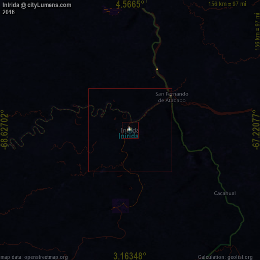
99.76%Clear (daylight) street map image can be seen on geolist.org.
Map coordinates:
4° 33' 59.4" North, 68° 37' 37.3" West
3° 51' 55" North, 67° 55' 26" West
3° 9' 48.5" North, 67° 13' 14.8" West
Some cities around Inírida sort by population:
• San Fernando de Apure, VE
450 km =279.6 mi,  6°
6°
• Puerto Ayacucho, VE
203.1 km =126.2 mi, 10°
• Cumaribo
217.7 km =135.3 mi,  287°
287°
• Villanueva
475 km =295.2 mi, 289°
• São Gabriel da Cachoeira, BR
452.6 km =281.2 mi,  168°
168°
• Puerto Carreño
262.9 km =163.4 mi, 10°
• Puerto Gaitán
463.8 km =288.2 mi,  276°
276°
• Mitú
387.2 km =240.6 mi,  221°
221°
3671450 (p: 7,298)
Sources (retrieved 2019-11-25):
» Earth at Night: Flat Maps 2012, 2016