Mucumpiz night lights from space
Night Light of Mucumpiz (Mérida) from space (Venezuela) Src. Average luminocity for 10x10km area is 0% and for 50x50km: 4.3197%.
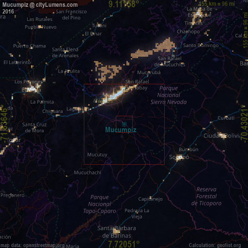
Analysis of Mucumpiz night lights 2016
Square area 10x10 km:
 0%
0%90-99
0%80-89
0%70-79
0%60-69
0%50-59
0%40-49
0%30-39
0%20-29
0%10-19
0%0-9
100%Square area 50x50 km:
0.64%90-99
0.61%80-89
0.32%70-79
0.52%60-69
0.74%50-59
0.22%40-49
0.73%30-39
0.73%20-29
1.25%10-19
4.19%0-9
90.04%Clear (daylight) street map image can be seen on geolist.org.
Map coordinates:
9° 6' 41.7" North, 71° 50' 11.3" West
8° 25' 0" North, 71° 7' 60" West
7° 43' 13.8" North, 70° 25' 48.8" West
Some cities around Mucumpiz sort by population:
• Barinas
104.4 km =64.9 mi,  77°
77°
• Mérida
19.4 km =12.1 mi,  352°
352°
• Alto Barinas
101.7 km =63.2 mi, 78°
• Ejido
18.7 km =11.6 mi,  320°
320°
• Valera
115.9 km =72 mi,  30°
30°
• El Vigía
61.6 km =38.3 mi,  290°
290°
• San Carlos del Zulia
108.8 km =67.6 mi,  306°
306°
• Barinitas
88.1 km =54.7 mi,  64°
64°
3631741 (p: 215,259)
Sources (retrieved 2019-11-25):
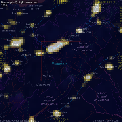
» NASA, Earths city lights 1995
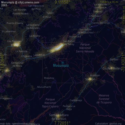
» NASA city lights 2003
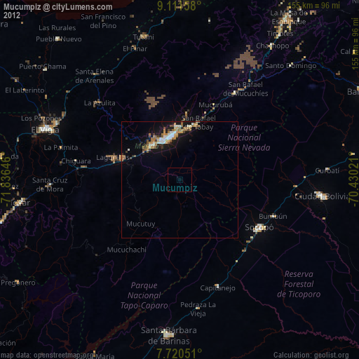
» Earth at Night: Flat Maps 2012, 2016