Ejido night lights from space
Night Light of Ejido (Mérida) from space (Venezuela) Src. Average luminocity for 10x10km area is 34.4318% and for 50x50km: 7.6724%.
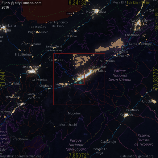
Analysis of Ejido night lights 2016
Square area 10x10 km:
 5.79%
5.79%90-99
5.17%80-89
4.75%70-79
1.65%60-69
6.61%50-59
3.31%40-49
6.61%30-39
5.99%20-29
7.23%10-19
28.51%0-9
24.38%Square area 50x50 km:
0.64%90-99
0.61%80-89
0.32%70-79
0.56%60-69
2.38%50-59
2.26%40-49
0.82%30-39
0.93%20-29
1.41%10-19
7.99%0-9
82.09%Clear (daylight) street map image can be seen on geolist.org.
Map coordinates:
9° 14' 28.8" North, 71° 56' 38.4" West
8° 32' 47.9" North, 71° 14' 27.1" West
7° 51' 2.6" North, 70° 32' 15.9" West
Some cities around Ejido sort by population:
• Barinas
113.9 km =70.8 mi,  85°
85°
• Mérida
10.5 km =6.5 mi,  62°
62°
• Alto Barinas
111.7 km =69.4 mi, 87°
• Mucumpiz
18.7 km =11.6 mi,  140°
140°
• Valera
110.7 km =68.8 mi,  39°
39°
• El Vigía
46.4 km =28.8 mi,  279°
279°
• San Carlos del Zulia
90.7 km =56.4 mi,  303°
303°
• Barinitas
94.2 km =58.5 mi,  75°
75°
3644417 (p: 106,915)
Sources (retrieved 2019-11-25):
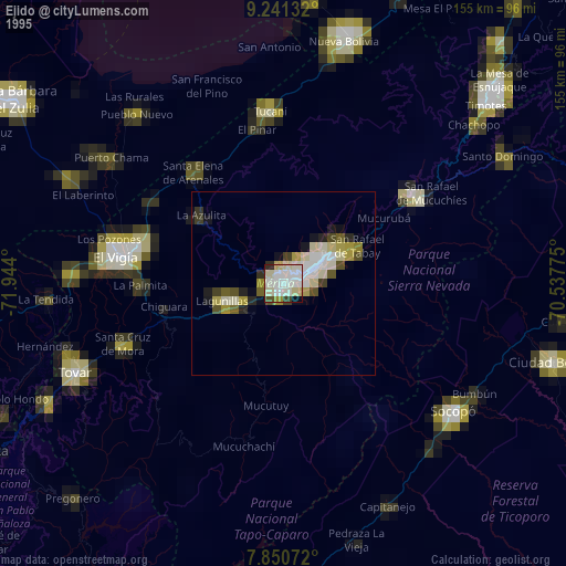
» NASA, Earths city lights 1995
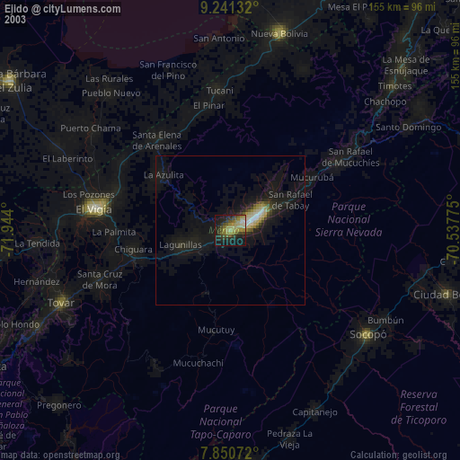
» NASA city lights 2003
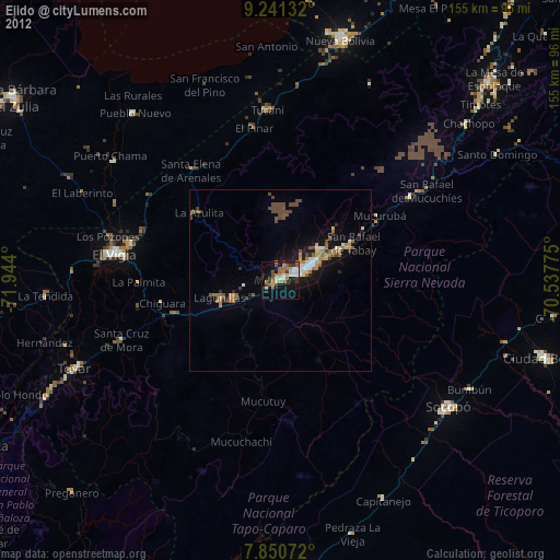
» Earth at Night: Flat Maps 2012, 2016