Mérida night lights from space
Night Light of Mérida from space (Venezuela) Src. Average luminocity for 10x10km area is 45.1839% and for 50x50km: 8.3366%.
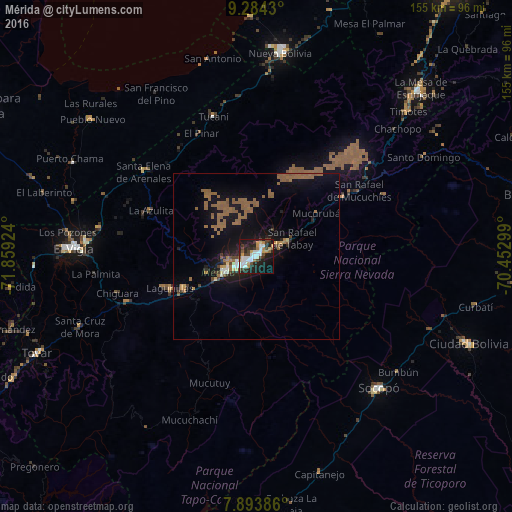
Analysis of Mérida night lights 2016
Square area 10x10 km:
 10.33%
90-99
10.12%80-89
2.69%70-79
5.79%60-69
4.96%50-59
1.65%40-49
7.44%30-39
8.47%20-29
15.29%10-19
27.48%0-9
5.79%Square area 50x50 km:
0.64%90-99
0.61%80-89
0.32%70-79
0.54%60-69
2.59%50-59
2.92%40-49
0.77%30-39
0.8%20-29
1.4%10-19
8.58%0-9
80.83%Clear (daylight) street map image can be seen on geolist.org.
Map coordinates:
9° 17' 3.5" North, 71° 51' 33.3" West
8° 35' 23" North, 71° 9' 22" West
7° 53' 37.9" North, 70° 27' 10.8" West
Some cities around Mérida sort by population:
• Barinas
104.4 km =64.9 mi,  87°
87°
• Alto Barinas
102.2 km =63.5 mi, 89°
• Mucumpiz
19.4 km =12.1 mi,  172°
172°
• Ejido
10.5 km =6.5 mi,  242°
242°
• Valera
101.2 km =62.9 mi,  36°
36°
• El Vigía
55.1 km =34.2 mi,  272°
272°
• San Carlos del Zulia
96.2 km =59.8 mi,  298°
298°
• Barinitas
84 km =52.2 mi,  76°
76°
3632308 (p: 300,000)
Sources (retrieved 2019-11-25):
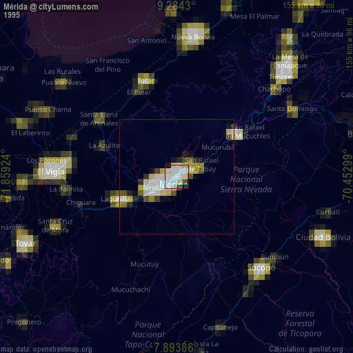
» NASA, Earths city lights 1995
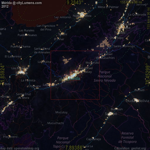
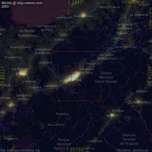
» NASA city lights 2003
» Earth at Night: Flat Maps 2012, 2016