Qarshi night lights from space
Night Light of Qarshi (Qashqadaryo) from space (Uzbekistan) Src. Average luminocity for 10x10km area is 73.2228% and for 50x50km: 13.185%.
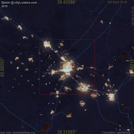
Analysis of Qarshi night lights 2016
Square area 10x10 km:
 11.73%
90-99
19.05%80-89
27.04%70-79
8.67%60-69
3.4%50-59
5.61%40-49
10.37%30-39
8.67%20-29
5.27%10-19
0.17%0-9
0%Square area 50x50 km:
1.08%90-99
2%80-89
2.19%70-79
1.18%60-69
1.3%50-59
1.64%40-49
2.47%30-39
3.49%20-29
3.46%10-19
10.09%0-9
71.08%Clear (daylight) street map image can be seen on geolist.org.
Map coordinates:
39° 24' 21.5" North, 65° 5' 9.3" East
38° 51' 38" North, 65° 47' 20.6" East
38° 18' 39.4" North, 66° 29' 31.8" East
Some cities around Qarshi sort by population:
• Koson
26.4 km =16.4 mi,  318°
318°
• Shahrisabz
93 km =57.8 mi,  76°
76°
• Kitob
99.1 km =61.6 mi,  72°
72°
• Muborak
70.3 km =43.7 mi,  308°
308°
• G‘uzor
47.9 km =29.8 mi,  123°
123°
• Chiroqchi
70.4 km =43.7 mi, 74°
• Beshkent
12.6 km =7.8 mi,  249°
249°
• Nishon Tumani
21 km =13 mi,  208°
208°
1216311 (p: 222,898)
Sources (retrieved 2019-11-25):
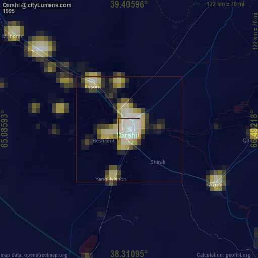
» NASA, Earths city lights 1995
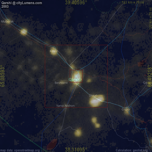
» NASA city lights 2003
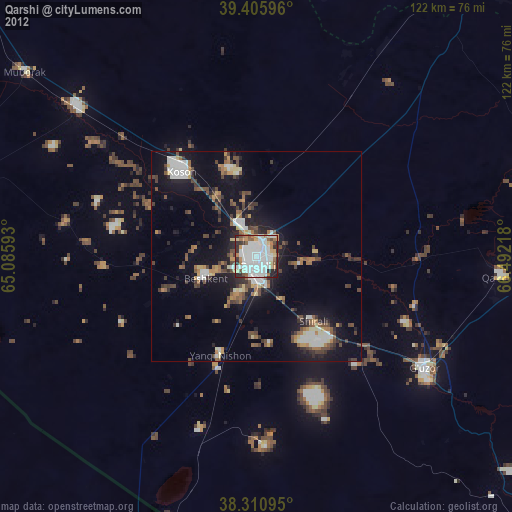
» Earth at Night: Flat Maps 2012, 2016