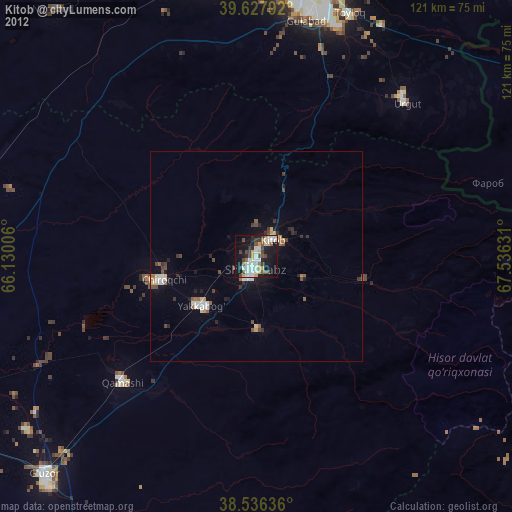
Kitob night lights from space
Night Light of Kitob (Qashqadaryo) from space (Uzbekistan) Src. Average luminocity for 10x10km area is 40.8994% and for 50x50km: 4.3835%.
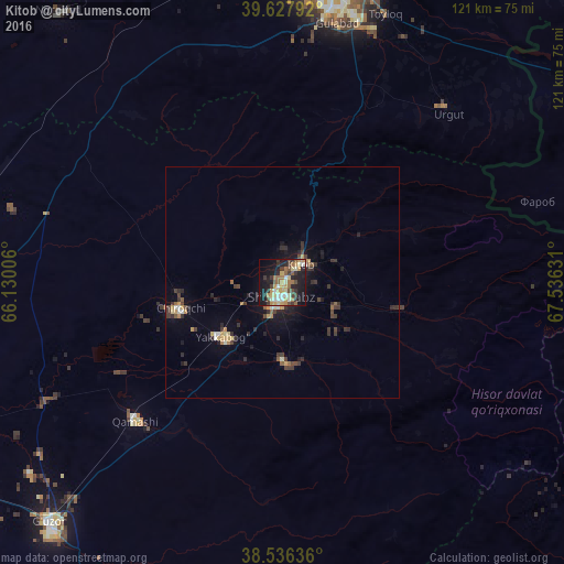
Analysis of Kitob night lights 2016
Square area 10x10 km:
 3.25%
3.25%90-99
5.68%80-89
6.82%70-79
9.09%60-69
6.01%50-59
6.17%40-49
5.19%30-39
8.28%20-29
9.42%10-19
30.52%0-9
9.58%Square area 50x50 km:
0.19%90-99
0.48%80-89
0.46%70-79
0.83%60-69
0.42%50-59
0.54%40-49
0.65%30-39
1.34%20-29
1.22%10-19
3.11%0-9
90.76%Clear (daylight) street map image can be seen on geolist.org.
Map coordinates:
39° 37' 40.5" North, 66° 7' 48.2" East
39° 7' 17.7" North, 66° 53' 9.8" East
38° 32' 10.9" North, 67° 32' 10.7" East
Some cities around Kitob sort by population:
• Samarkand
59.6 km =37 mi,  6°
6°
• Shahrisabz
8.4 km =5.2 mi,  212°
212°
• Urgut
43.8 km =27.2 mi,  44°
44°
• Juma
68.8 km =42.8 mi,  343°
343°
• Chiroqchi
28.8 km =17.9 mi,  250°
250°
• Jomboy
66.6 km =41.4 mi,  15°
15°
• Charxin
64.7 km =40.2 mi,  351°
351°
• Daxbet
71.5 km =44.4 mi,  1°
1°
1216787 (p: 41,938)
Sources (retrieved 2019-11-25):
» Earth at Night: Flat Maps 2012, 2016