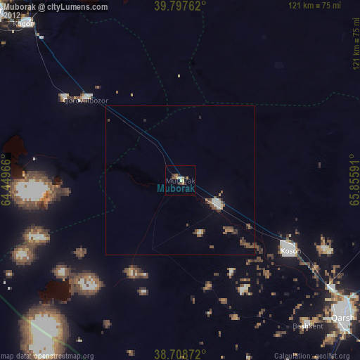
Muborak night lights from space
Night Light of Muborak (Qashqadaryo) from space (Uzbekistan) Src. Average luminocity for 10x10km area is 6.5476% and for 50x50km: 0.8554%.
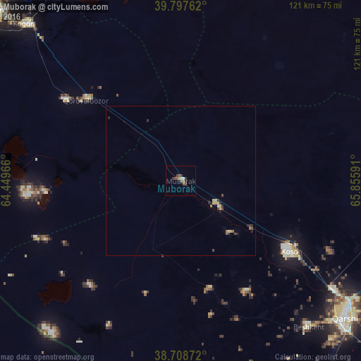
Analysis of Muborak night lights 2016
Square area 10x10 km:
 0.51%
0.51%90-99
0.85%80-89
0%70-79
0.68%60-69
0.68%50-59
1.53%40-49
3.06%30-39
2.04%20-29
1.02%10-19
0.51%0-9
89.12%Square area 50x50 km:
0.03%90-99
0.06%80-89
0.18%70-79
0.11%60-69
0.09%50-59
0.11%40-49
0.27%30-39
0.25%20-29
0.23%10-19
0.02%0-9
98.66%Clear (daylight) street map image can be seen on geolist.org.
Map coordinates:
39° 47' 51.4" North, 64° 26' 58.8" East
39° 15' 19" North, 65° 9' 10" East
38° 42' 31.4" North, 65° 51' 21.3" East
Some cities around Muborak sort by population:
• Bukhara
84.8 km =52.7 mi,  312°
312°
• Qarshi
70.3 km =43.7 mi,  128°
128°
• Kogon
73.2 km =45.5 mi,  315°
315°
• Koson
44.4 km =27.6 mi,  123°
123°
• Beshkent
64.8 km =40.3 mi,  138°
138°
• Galaosiyo
90.2 km =56 mi, 317°
• Nishon Tumani
77 km =47.8 mi, 144°
• Qorovulbozor
41.2 km =25.6 mi, 311°
1216475 (p: 29,180)
Sources (retrieved 2019-11-25):
» Earth at Night: Flat Maps 2012, 2016