Koson night lights from space
Night Light of Koson (Qashqadaryo) from space (Uzbekistan) Src. Average luminocity for 10x10km area is 34.5552% and for 50x50km: 8.2069%.
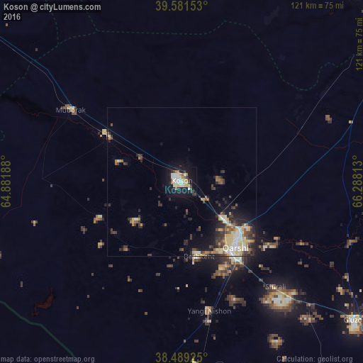
Analysis of Koson night lights 2016
Square area 10x10 km:
 5.36%
5.36%90-99
9.58%80-89
4.55%70-79
3.41%60-69
3.41%50-59
1.46%40-49
2.44%30-39
3.9%20-29
5.03%10-19
42.53%0-9
18.34%Square area 50x50 km:
0.78%90-99
1.47%80-89
1.66%70-79
0.77%60-69
0.69%50-59
0.83%40-49
1.26%30-39
1.89%20-29
2.17%10-19
4.99%0-9
83.49%Clear (daylight) street map image can be seen on geolist.org.
Map coordinates:
39° 34' 53.5" North, 64° 52' 54.8" East
39° 2' 15" North, 65° 35' 6" East
38° 29' 21.3" North, 66° 17' 17.3" East
Some cities around Koson sort by population:
• Qarshi
26.4 km =16.4 mi,  138°
138°
• Oqtosh
102.5 km =63.7 mi,  16°
16°
• Muborak
44.4 km =27.6 mi,  303°
303°
• G‘uzor
73.8 km =45.9 mi,  128°
128°
• Chiroqchi
85.3 km =53 mi,  90°
90°
• Beshkent
24.7 km =15.3 mi,  166°
166°
• Nishon Tumani
39 km =24.2 mi, 168°
• Qorovulbozor
85.4 km =53.1 mi,  307°
307°
1217007 (p: 59,681)
Sources (retrieved 2019-11-25):
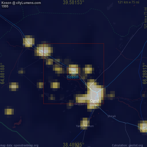
» NASA, Earths city lights 1995
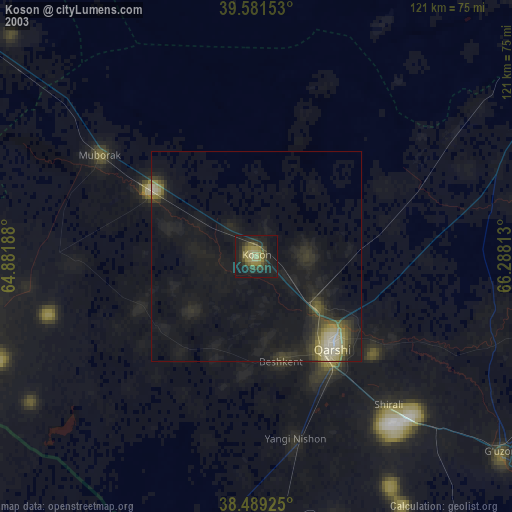
» NASA city lights 2003
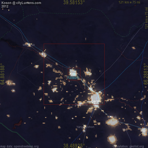
» Earth at Night: Flat Maps 2012, 2016