Shahrisabz night lights from space
Night Light of Shahrisabz (Qashqadaryo) from space (Uzbekistan) Src. Average luminocity for 10x10km area is 38.2711% and for 50x50km: 4.3835%.
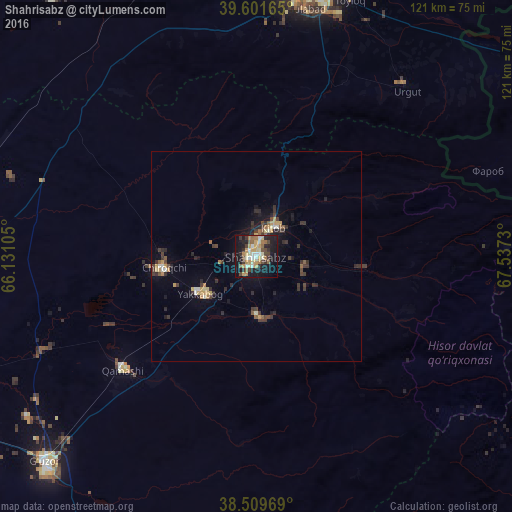
Analysis of Shahrisabz night lights 2016
Square area 10x10 km:
 3.57%
3.57%90-99
5.03%80-89
5.84%70-79
8.28%60-69
5.68%50-59
5.03%40-49
5.19%30-39
6.33%20-29
7.14%10-19
37.82%0-9
10.06%Square area 50x50 km:
0.19%90-99
0.48%80-89
0.46%70-79
0.83%60-69
0.42%50-59
0.54%40-49
0.65%30-39
1.34%20-29
1.22%10-19
3.11%0-9
90.76%Clear (daylight) street map image can be seen on geolist.org.
Map coordinates:
39° 36' 5.9" North, 66° 7' 51.8" East
39° 3' 28" North, 66° 50' 3" East
38° 30' 34.9" North, 67° 32' 14.3" East
Some cities around Shahrisabz sort by population:
• Samarkand
67.2 km =41.8 mi,  9°
9°
• Urgut
52 km =32.3 mi,  42°
42°
• Kitob
8.4 km =5.2 mi,  32°
32°
• G‘uzor
70.3 km =43.7 mi,  226°
226°
• Juma
74.6 km =46.4 mi,  348°
348°
• Chiroqchi
22.8 km =14.2 mi,  263°
263°
• Jomboy
74.7 km =46.4 mi,  17°
17°
• Charxin
71.3 km =44.3 mi,  355°
355°
1216187 (p: 57,051)
Sources (retrieved 2019-11-25):
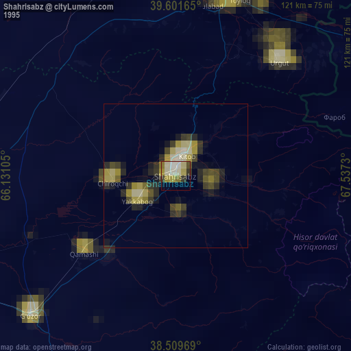
» NASA, Earths city lights 1995
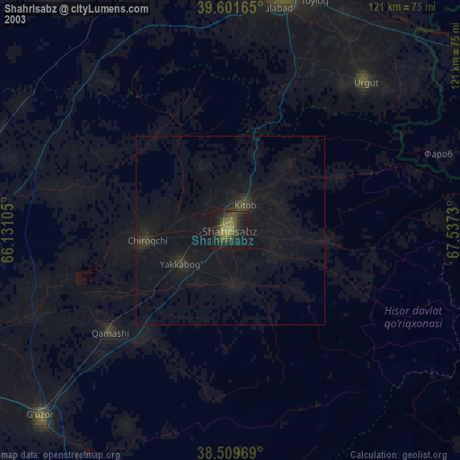
» NASA city lights 2003
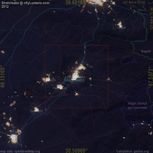
» Earth at Night: Flat Maps 2012, 2016