Guliston night lights from space
Night Light of Guliston (Sirdaryo) from space (Uzbekistan) Src. Average luminocity for 10x10km area is 40.767% and for 50x50km: 4.3622%.
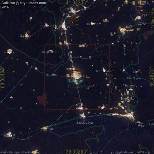

Analysis of Guliston night lights 2016
Square area 10x10 km:
 2.72%
2.72%90-99
8.84%80-89
6.8%70-79
5.27%60-69
9.35%50-59
2.89%40-49
3.74%30-39
10.03%20-29
10.54%10-19
27.55%0-9
12.24%Square area 50x50 km:
0.2%90-99
0.58%80-89
0.43%70-79
0.45%60-69
0.69%50-59
0.56%40-49
0.74%30-39
1.62%20-29
1.18%10-19
2.47%0-9
91.09%Clear (daylight) street map image can be seen on geolist.org.
Map coordinates:
41° 1' 20.4" North, 68° 4' 51.8" East
40° 29' 23" North, 68° 47' 3" East
39° 57' 10.3" North, 69° 29' 14.3" East
Some cities around Guliston sort by population:
• Yangiyer
24.1 km =15 mi,  172°
172°
• Sirdaryo
40.7 km =25.3 mi,  345°
345°
• Dashtobod
47.2 km =29.3 mi,  211°
211°
• Bo‘ka
49.7 km =30.9 mi,  44°
44°
• Bŭston, TJ
46.6 km =29 mi,  85°
85°
• Atakent, KZ
46.2 km =28.7 mi,  329°
329°
• Myrzakent, KZ
27.9 km =17.3 mi,  313°
313°
• Pakhtakoron, TJ
37.1 km =23.1 mi,  184°
184°
1513966 (p: 53,373)
Sources (retrieved 2019-11-25):
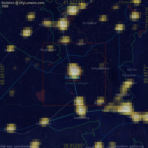
» NASA, Earths city lights 1995
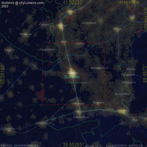
» NASA city lights 2003
» Earth at Night: Flat Maps 2012, 2016