Yangiyer night lights from space
Night Light of Yangiyer (Sirdaryo) from space (Uzbekistan) Src. Average luminocity for 10x10km area is 14.7942% and for 50x50km: 3.0278%.
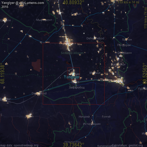
Analysis of Yangiyer night lights 2016
Square area 10x10 km:
 0%
0%90-99
2.72%80-89
2.04%70-79
0%60-69
3.74%50-59
1.02%40-49
2.72%30-39
4.25%20-29
0.85%10-19
14.29%0-9
68.37%Square area 50x50 km:
0.14%90-99
0.44%80-89
0.34%70-79
0.22%60-69
0.46%50-59
0.36%40-49
0.58%30-39
0.94%20-29
0.7%10-19
1.78%0-9
94.04%Clear (daylight) street map image can be seen on geolist.org.
Map coordinates:
40° 48' 33.6" North, 68° 7' 9.8" East
40° 16' 30" North, 68° 49' 21" East
39° 44' 11.1" North, 69° 31' 32.3" East
Some cities around Yangiyer sort by population:
• Bekobod
38.4 km =23.9 mi,  99°
99°
• Guliston
24.1 km =15 mi,  352°
352°
• Istaravshan, TJ
43 km =26.7 mi,  159°
159°
• Zomin
50.4 km =31.3 mi,  226°
226°
• Dashtobod
32.4 km =20.1 mi,  239°
239°
• Nov, TJ
48.5 km =30.1 mi,  106°
106°
• Myrzakent, KZ
49.1 km =30.5 mi,  331°
331°
• Pakhtakoron, TJ
14.6 km =9.1 mi,  206°
206°
1512342 (p: 32,636)
Sources (retrieved 2019-11-25):
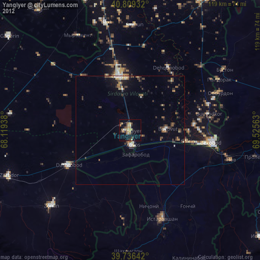
» Earth at Night: Flat Maps 2012, 2016