Sirdaryo night lights from space
Night Light of Sirdaryo from space (Uzbekistan) Src. Average luminocity for 10x10km area is 20.7653% and for 50x50km: 4.02%.
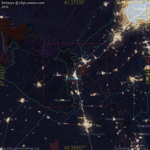
Analysis of Sirdaryo night lights 2016
Square area 10x10 km:
 2.04%
2.04%90-99
5.44%80-89
3.4%70-79
0%60-69
2.04%50-59
2.55%40-49
0.85%30-39
2.89%20-29
0.68%10-19
27.04%0-9
53.06%Square area 50x50 km:
0.21%90-99
0.56%80-89
0.36%70-79
0.43%60-69
0.51%50-59
0.42%40-49
0.57%30-39
1.39%20-29
0.91%10-19
2.34%0-9
92.29%Clear (daylight) street map image can be seen on geolist.org.
Map coordinates:
41° 22' 24.2" North, 67° 57' 30.8" East
40° 50' 37" North, 68° 39' 42" East
40° 18' 34.5" North, 69° 21' 53.3" East
Some cities around Sirdaryo sort by population:
• Yangiyŭl
44 km =27.3 mi,  47°
47°
• Guliston
40.7 km =25.3 mi,  165°
165°
• Zafar
25.3 km =15.7 mi, 52°
• Chinoz
13.3 km =8.3 mi,  39°
39°
• Atakent, KZ
13.1 km =8.1 mi,  272°
272°
• Asyqata, KZ
25.6 km =15.9 mi,  282°
282°
• Myrzakent, KZ
22.3 km =13.9 mi,  206°
206°
• Amir Timur
30.5 km =19 mi, 50°
1512770 (p: 26,816)
Sources (retrieved 2019-11-25):
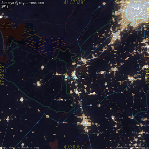
» Earth at Night: Flat Maps 2012, 2016