Zanesville night lights from space
Night Light of Zanesville (Ohio) from space (United States) Src. Average luminocity for 10x10km area is 52.0068% and for 50x50km: 5.8436%.
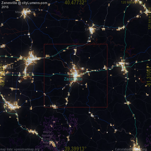
Analysis of Zanesville night lights 2016
Square area 10x10 km:
 7.48%
7.48%90-99
11.56%80-89
9.69%70-79
5.27%60-69
4.76%50-59
5.95%40-49
11.39%30-39
8.16%20-29
19.39%10-19
16.16%0-9
0.17%Square area 50x50 km:
0.45%90-99
0.85%80-89
0.8%70-79
0.7%60-69
0.67%50-59
0.83%40-49
1.15%30-39
1.15%20-29
1.57%10-19
3.58%0-9
88.25%Clear (daylight) street map image can be seen on geolist.org.
Map coordinates:
40° 28' 38.4" North, 82° 42' 58.8" West
39° 56' 25.3" North, 82° 0' 47.5" West
39° 23' 56.9" North, 81° 18' 36.3" West
Some cities around Zanesville sort by population:
• Newark
35.6 km =22.1 mi,  291°
291°
• Lancaster
56 km =34.8 mi,  243°
243°
• Coshocton
39.1 km =24.3 mi,  19°
19°
• Heath
37.9 km =23.5 mi,  284°
284°
• Cambridge
37.6 km =23.4 mi,  74°
74°
• Logan
55.8 km =34.7 mi,  217°
217°
• Geneva
47.4 km =29.5 mi,  229°
229°
• Granville
45.4 km =28.2 mi, 288°
4528923 (p: 25,498)
Sources (retrieved 2019-11-25):
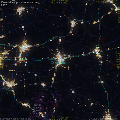
» Earth at Night: Flat Maps 2012, 2016