Lancaster night lights from space
Night Light of Lancaster (Ohio) from space (United States) Src. Average luminocity for 10x10km area is 48.0666% and for 50x50km: 11.7654%.
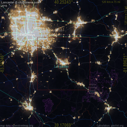
Analysis of Lancaster night lights 2016
Square area 10x10 km:
 6.66%
6.66%90-99
9.42%80-89
8.44%70-79
7.63%60-69
5.68%50-59
5.03%40-49
5.68%30-39
7.31%20-29
20.29%10-19
22.08%0-9
1.79%Square area 50x50 km:
1.21%90-99
1.85%80-89
1.4%70-79
1.99%60-69
1.94%50-59
1.63%40-49
1.59%30-39
1.87%20-29
3.03%10-19
6.1%0-9
77.38%Clear (daylight) street map image can be seen on geolist.org.
Map coordinates:
40° 15' 8.7" North, 83° 18' 8.9" West
39° 42' 49.2" North, 82° 35' 57.6" West
39° 10' 14.5" North, 81° 53' 46.4" West
Some cities around Lancaster sort by population:
• Pickerington
23.1 km =14.4 mi,  325°
325°
• Pataskala
32 km =19.9 mi,  348°
348°
• Circleville
32.2 km =20 mi,  247°
247°
• Blacklick Estates
31.1 km =19.3 mi,  313°
313°
• Canal Winchester
22.7 km =14.1 mi, 309°
• Logan
25.4 km =15.8 mi,  139°
139°
• Geneva
15.3 km =9.5 mi,  112°
112°
• Groveport
30.4 km =18.9 mi, 307°
4516233 (p: 39,766)
Sources (retrieved 2019-11-25):
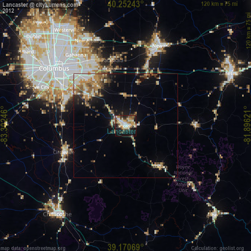
» Earth at Night: Flat Maps 2012, 2016