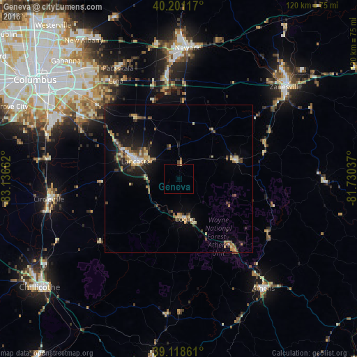
Geneva night lights from space
Night Light of Geneva (Ohio) from space (United States) Src. Average luminocity for 10x10km area is 1.0682% and for 50x50km: 5.934%.
Analysis of Geneva night lights 2016
Square area 10x10 km:
 0%
0%90-99
0%80-89
0.65%70-79
0%60-69
0%50-59
0.32%40-49
0.32%30-39
0%20-29
0%10-19
0%0-9
98.7%Square area 50x50 km:
0.36%90-99
0.64%80-89
0.93%70-79
0.79%60-69
0.87%50-59
0.73%40-49
1%30-39
0.95%20-29
1.61%10-19
3.81%0-9
88.31%Clear (daylight) street map image can be seen on geolist.org.
Map coordinates:
40° 12' 4.2" North, 83° 8' 11.8" West
39° 39' 43.2" North, 82° 26' 0.6" West
39° 7' 7" North, 81° 43' 49.3" West
Some cities around Geneva sort by population:
• Newark
44.1 km =27.4 mi,  3°
3°
• Lancaster
15.3 km =9.5 mi,  292°
292°
• Pickerington
36.9 km =22.9 mi,  312°
312°
• Pataskala
42.4 km =26.3 mi,  330°
330°
• Heath
40.1 km =24.9 mi,  358°
358°
• Canal Winchester
37.6 km =23.4 mi,  302°
302°
• Logan
13.7 km =8.5 mi,  170°
170°
• Nelsonville
28.5 km =17.7 mi,  142°
142°
4512557 (p: 6,447)
Sources (retrieved 2019-11-25):
» Earth at Night: Flat Maps 2012, 2016