Newark night lights from space
Night Light of Newark (Ohio) from space (United States) Src. Average luminocity for 10x10km area is 56.9237% and for 50x50km: 8.5316%.
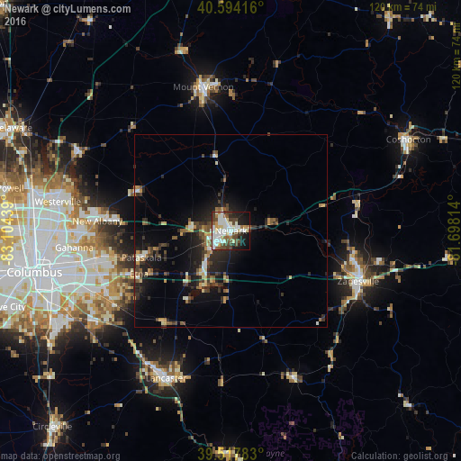
Analysis of Newark night lights 2016
Square area 10x10 km:
 14.45%
90-99
17.05%80-89
6.33%70-79
2.76%60-69
4.55%50-59
5.03%40-49
13.31%30-39
5.84%20-29
8.44%10-19
17.86%0-9
4.38%Square area 50x50 km:
0.82%90-99
1.21%80-89
0.97%70-79
0.83%60-69
0.89%50-59
1.25%40-49
1.6%30-39
1.7%20-29
3.29%10-19
6.36%0-9
81.08%Clear (daylight) street map image can be seen on geolist.org.
Map coordinates:
40° 35' 39" North, 83° 6' 15.8" West
40° 3' 29.2" North, 82° 24' 4.5" West
39° 31' 4.2" North, 81° 41' 53.3" West
Some cities around Newark sort by population:
• Reynoldsburg
36.8 km =22.9 mi,  251°
251°
• Zanesville
35.6 km =22.1 mi,  111°
111°
• Pickerington
35.7 km =22.2 mi,  237°
237°
• Mount Vernon
38 km =23.6 mi,  349°
349°
• Pataskala
24.3 km =15.1 mi, 253°
• Heath
5.4 km =3.4 mi,  223°
223°
• New Albany
34.8 km =21.6 mi,  274°
274°
• Granville
10.1 km =6.3 mi,  276°
276°
5164466 (p: 47,986)
Sources (retrieved 2019-11-25):
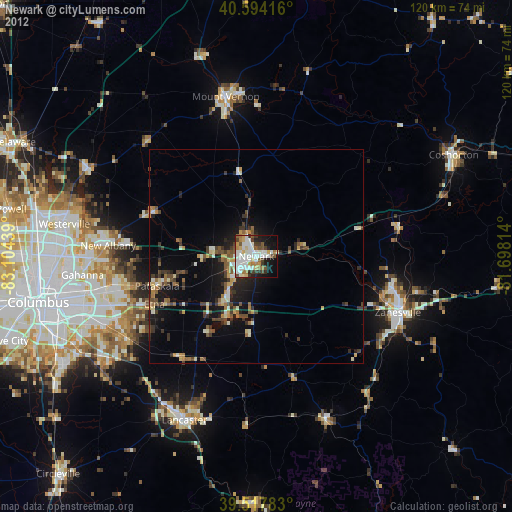
» Earth at Night: Flat Maps 2012, 2016