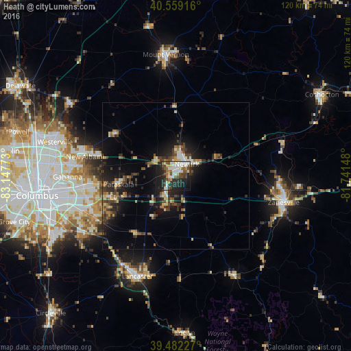
Heath night lights from space
Night Light of Heath (Ohio) from space (United States) Src. Average luminocity for 10x10km area is 52.7955% and for 50x50km: 10.2385%.
Analysis of Heath night lights 2016
Square area 10x10 km:
 11.69%
90-99
11.85%80-89
6.66%70-79
3.08%60-69
4.22%50-59
8.12%40-49
12.5%30-39
6.01%20-29
20.62%10-19
12.5%0-9
2.76%Square area 50x50 km:
0.87%90-99
1.26%80-89
1.21%70-79
1.03%60-69
1.26%50-59
1.58%40-49
1.96%30-39
2.19%20-29
3.93%10-19
7.59%0-9
77.11%Clear (daylight) street map image can be seen on geolist.org.
Map coordinates:
40° 33' 33" North, 83° 8' 51.8" West
40° 1' 22.2" North, 82° 26' 40.6" West
39° 28' 56.2" North, 81° 44' 29.3" West
Some cities around Heath sort by population:
• Newark
5.4 km =3.4 mi,  43°
43°
• Lancaster
36.8 km =22.9 mi,  201°
201°
• Reynoldsburg
32.2 km =20 mi,  256°
256°
• Pickerington
30.5 km =19 mi,  239°
239°
• Pataskala
19.8 km =12.3 mi, 261°
• New Albany
31.7 km =19.7 mi,  281°
281°
• Canal Winchester
36.6 km =22.7 mi, 236°
• Granville
8.1 km =5 mi,  308°
308°
5157262 (p: 10,489)
Sources (retrieved 2019-11-25):
» Earth at Night: Flat Maps 2012, 2016