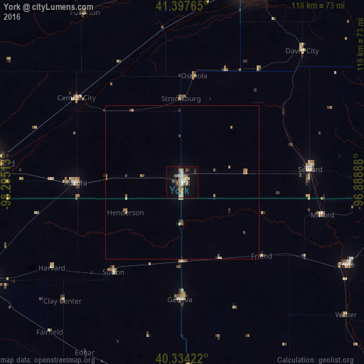
York night lights from space
Night Light of York (Nebraska) from space (United States) Src. Average luminocity for 10x10km area is 24.4201% and for 50x50km: 1.6537%.
Analysis of York night lights 2016
Square area 10x10 km:
 3.74%
3.74%90-99
2.38%80-89
3.23%70-79
3.57%60-69
3.4%50-59
4.25%40-49
2.55%30-39
2.04%20-29
4.42%10-19
23.64%0-9
46.77%Square area 50x50 km:
0.17%90-99
0.14%80-89
0.19%70-79
0.32%60-69
0.25%50-59
0.3%40-49
0.26%30-39
0.16%20-29
0.24%10-19
1.02%0-9
96.95%Clear (daylight) street map image can be seen on geolist.org.
Map coordinates:
41° 23' 51.5" North, 98° 17' 42.5" West
40° 52' 5.1" North, 97° 35' 31.2" West
40° 20' 3.2" North, 96° 53' 20" West
Some cities around York sort by population:
• Lincoln
78.2 km =48.6 mi,  95°
95°
• Grand Island
63.4 km =39.4 mi,  275°
275°
• Hastings
74.1 km =46 mi,  244°
244°
• Columbus
65.2 km =40.5 mi,  16°
16°
• Beatrice
97.7 km =60.7 mi,  133°
133°
• Seward
41.7 km =25.9 mi,  84°
84°
• Crete
59.5 km =37 mi,  116°
116°
• Schuyler
78.3 km =48.7 mi,  34°
34°
5082331 (p: 7,864)
Sources (retrieved 2019-11-25):
» Earth at Night: Flat Maps 2012, 2016