Grand Island night lights from space
Night Light of Grand Island (Nebraska) from space (United States) Src. Average luminocity for 10x10km area is 64.233% and for 50x50km: 5.1071%.
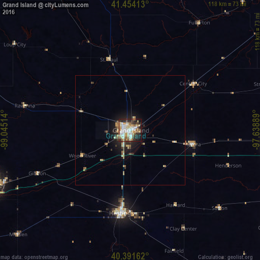
Analysis of Grand Island night lights 2016
Square area 10x10 km:
 14.46%
90-99
16.5%80-89
11.05%70-79
8.5%60-69
8.16%50-59
6.46%40-49
4.76%30-39
7.65%20-29
13.61%10-19
8.67%0-9
0.17%Square area 50x50 km:
0.56%90-99
0.8%80-89
0.93%70-79
0.72%60-69
0.67%50-59
0.5%40-49
0.48%30-39
0.89%20-29
1.38%10-19
3.22%0-9
89.85%Clear (daylight) street map image can be seen on geolist.org.
Map coordinates:
41° 27' 14.9" North, 99° 2' 42.5" West
40° 55' 30" North, 98° 20' 31.2" West
40° 23' 29.8" North, 97° 38' 20" West
Some cities around Grand Island sort by population:
• Kearney
67.1 km =41.7 mi,  248°
248°
• Hastings
37.9 km =23.5 mi,  185°
185°
• Columbus
98.9 km =61.5 mi,  55°
55°
• Lexington
118.8 km =73.8 mi,  262°
262°
• York
63.4 km =39.4 mi,  95°
95°
• Seward
104.5 km =64.9 mi,  91°
91°
• Crete
120.9 km =75.1 mi,  105°
105°
• Holdrege
102.1 km =63.4 mi,  238°
238°
5069297 (p: 51,440)
Sources (retrieved 2019-11-25):
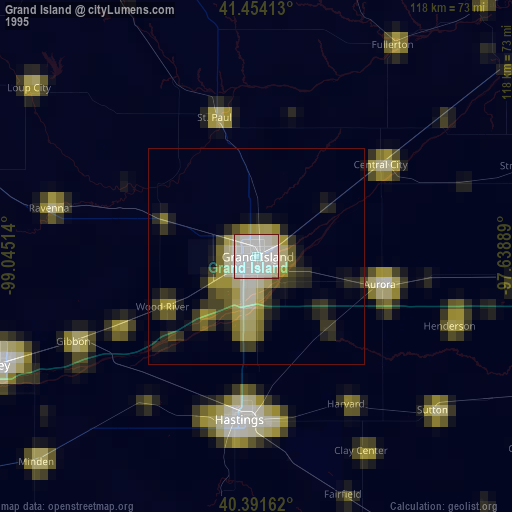
» NASA, Earths city lights 1995
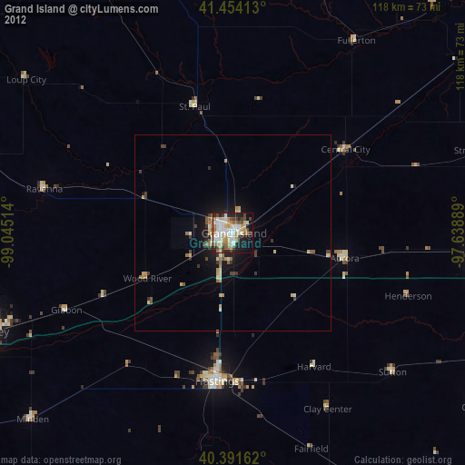
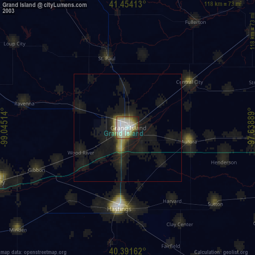
» NASA city lights 2003
» Earth at Night: Flat Maps 2012, 2016