Crete night lights from space
Night Light of Crete (Nebraska) from space (United States) Src. Average luminocity for 10x10km area is 13.6899% and for 50x50km: 5.9105%.
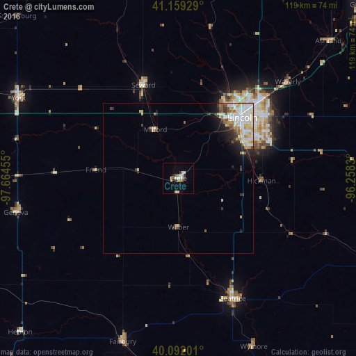
Analysis of Crete night lights 2016
Square area 10x10 km:
 2.76%
2.76%90-99
2.44%80-89
1.46%70-79
0.65%60-69
2.44%50-59
0.81%40-49
1.14%30-39
2.44%20-29
0.81%10-19
1.3%0-9
83.77%Square area 50x50 km:
1.53%90-99
1.43%80-89
0.78%70-79
0.57%60-69
0.56%50-59
0.56%40-49
0.48%30-39
0.68%20-29
0.96%10-19
1.57%0-9
90.88%Clear (daylight) street map image can be seen on geolist.org.
Map coordinates:
41° 9' 33.4" North, 97° 39' 52.4" West
40° 37' 40" North, 96° 57' 41.1" West
40° 5' 31.2" North, 96° 15' 29.9" West
Some cities around Crete sort by population:
• Lincoln
31.3 km =19.4 mi,  52°
52°
• Beatrice
43.9 km =27.3 mi,  155°
155°
• Chalco
92 km =57.2 mi, 47°
• York
59.5 km =37 mi,  296°
296°
• Nebraska City
93.1 km =57.8 mi,  86°
86°
• Seward
33.1 km =20.6 mi,  339°
339°
• Schuyler
91.5 km =56.9 mi,  354°
354°
• Gretna
83.3 km =51.8 mi, 46°
5066435 (p: 7,037)
Sources (retrieved 2019-11-25):
» Earth at Night: Flat Maps 2012, 2016